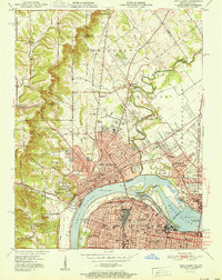
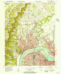
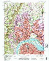
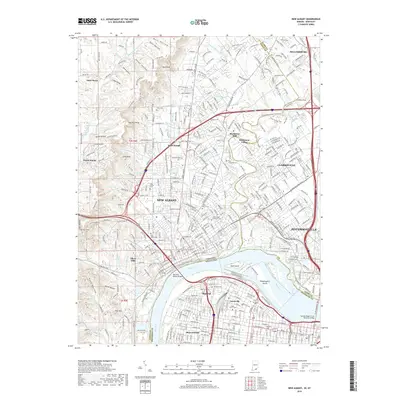
1951 Map of New Albany
USGS Topo · Published 1951About this map
The Ohio River flows through the center of this mid-century survey, dividing the growing industrial centers of New Albany, Indiana, and Louisville, Kentucky. The landscape transitions from the dense urban grid of Portland and the riverfront Dry Dock at Shippingport to the prominent heights of Floyds Knobs and Bald Knob. This era captures a bustling river economy where the Falls of the Ohio still influence local navigation and the Toll Bridge connects the two states.
Find a feature on this map
86 named features on this map. Tap any name to fly to it.
Don’t see what you’re looking for? This feature index may not catch every label — zoom into the map to look around manually.
Map Details
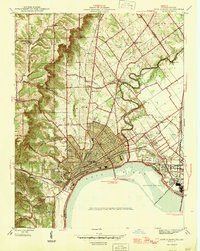
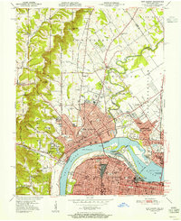
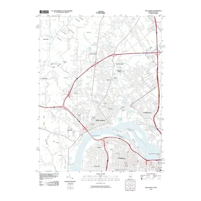
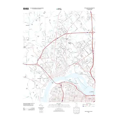
Editions of this 1951 New Albany Map
2 editions found
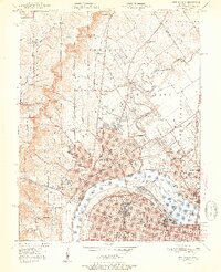
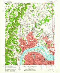
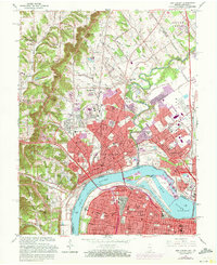
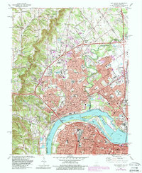
Historical Maps of Louisville Through Time
14 maps found

1939 New Albany
Floyd County, IN
1946 New Albany
Floyd County, IN
1950 New Albany
Floyd County, IN
1951 New Albany
Floyd County, IN
1955 New Albany
Floyd County, IN
1960 New Albany
Floyd County, IN
1965 New Albany
Floyd County, IN
1982 New Albany
Floyd County, IN
1992 New Albany
Floyd County, IN
2010 New Albany
Floyd County, IN
2013 New Albany
Floyd County, IN
2016 New Albany
Floyd County, IN
2019 New Albany
Floyd County, IN
2023 New Albany
Floyd County, IN