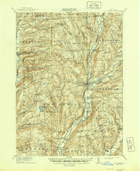
1912 Map of New Berlin
USGS Topo · Published 1944About this map
The Unadilla River valley serves as the primary corridor for settlement and industry in this 1912 survey of Central New York, where the Unadilla Valley RR tracks trace the river's winding path. The landscape is dotted with small agricultural hubs and crossroads, from the primary village of New Berlin to smaller hamlets like Sweets, Columbus, and South Edmeston. Uplands such as Shackham Mountain and Sugarloaf Mtn rise sharply from the river plains, sheltering remote local features like the Dimmick Hollow School and the high waters of Chenango Lake. Cultural landmarks including the Columbus Hill Church and All Saints Chapel reflect the established rural community life of the early twentieth century. The map also captures the path of the New York Ontario and Western railroad as it cuts through the western hills near Sherburne, illustrating the era's dependence on rail for connecting these dairy-producing regions to broader markets.
Find a feature on this map
74 named features on this map. Tap any name to fly to it.
Don’t see what you’re looking for? This feature index may not catch every label — zoom into the map to look around manually.
Map Details
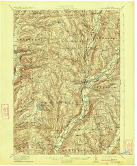
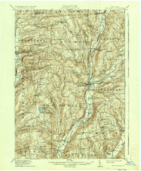
Editions of this 1912 New Berlin Map
4 editions found
Other maps of this area

1902 · Coventry
USGS Topo · 1:62,500

1902 · Morrisville
USGS Topo · 1:62,500

1903 · Norwich
USGS Topo · 1:62,500

1904 · Oxford
USGS Topo · 1:62,500

1907 · Winfield
USGS Topo · 1:62,500

1907 · Sangerfield
USGS Topo · 1:62,500

1910 · Hartwick
USGS Topo · 1:62,500

1910 · New Berlin
USGS Topo · 1:62,500

1912 · New Berlin
USGS Topo · 1:62,500

1912 · Hartwick
USGS Topo · 1:62,500