
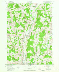
1943 Map of New Berlin North
USGS Topo · Published 1957About this map
The Unadilla River valley serves as the central artery for this 1940s landscape, marking the boundary between Chenango and Otsego counties. The Unadilla Valley River railroad follows the water's edge, connecting rural outposts like South Edmeston and the northern fringes of New Berlin. This era shows a distributed network of family-named corners and crossroads, including Millers Corners, Lamus Corners, and Briggs Corners, which indicate a well-established agrarian society centered on local landmarks rather than urban clusters.
Find a feature on this map
47 named features on this map. Tap any name to fly to it.
Don’t see what you’re looking for? This feature index may not catch every label — zoom into the map to look around manually.
Map Details
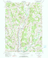
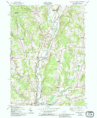
Editions of this 1943 New Berlin North Map
4 editions found
Other maps of this area

1907 · Winfield
USGS Topo · 1:62,500

1907 · Sangerfield
USGS Topo · 1:62,500

1910 · Hartwick
USGS Topo · 1:62,500

1910 · New Berlin
USGS Topo · 1:62,500

1912 · New Berlin
USGS Topo · 1:62,500

1912 · Hartwick
USGS Topo · 1:62,500

1943 · New Berlin South
USGS Topo · 1:24,000

1943 · Hubbardsville
USGS Topo · 1:24,000

1943 · Unadilla Forks
USGS Topo · 1:24,000
1943 · Morris
USGS Topo · 1:24,000