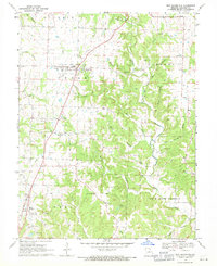
1969 Map of New Bloomfield
USGS Topo · Published 1971About this map
New Bloomfield and Holts Summit anchor this survey of southern Callaway County, where small-scale farming and local industry meet the dissected landscape of the Cote Sans Dessein region. The map reveals a dense network of family and community history, evidenced by nearly twenty named burial grounds including Cason Cem, Providence Cem, and Knight Cem. The influence of early telecommunications is visible through the presence of the Radio Tower (KROG-TV) and several smaller substations. Transportation history is etched into the terrain by the Old Grade RR and Town Grade, showing the pathways of former rail lines or early road engineering. Rural spiritual life is centered on landmarks such as St Paul Ch and Pleasant Ridge Ch, while the local economy is hinted at by a Quarry and a Claypit.
Find a feature on this map
54 named features on this map. Tap any name to fly to it.
Don’t see what you’re looking for? This feature index may not catch every label — zoom into the map to look around manually.
Map Details
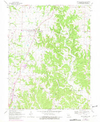
Editions of this 1969 New Bloomfield Map
2 editions found
Other maps of this area

1886 · Jefferson City
USGS Topo · 1:125,000

1890 · Fulton
USGS Topo · 1:125,000

1894 · Jefferson City
USGS Topo · 1:125,000

1928 · Fulton
USGS Topo · 1:62,500

1931 · Fulton
USGS Topo · 1:62,500

1939 · Jefferson City
USGS Topo · 1:24,000

1939 · Jefferson City
USGS Topo · 1:62,500

1942 · Jefferson City
USGS Topo · 1:62,500

1944 · Millersburg
USGS Topo · 1:62,500

1945 · Mokane
USGS Topo · 1:62,500