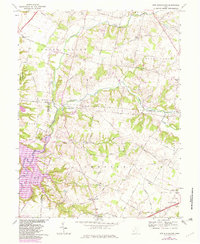
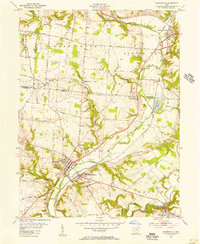
1968 Map of New Burlington
USGS Topo · Published 1982About this map
New Burlington sits at the heart of this landscape, positioned along the banks where Anderson Fork meets Caesar Creek. The survey documents a major transition in the local geography as Caesar Creek Lake begins to dominate the southwestern terrain, reflecting the mid-century engineering projects that reshaped the valley. Small rural settlements like Maple Corner, Kingman, and Gurneyville are linked by a dense network of country roads such as Richmond Road and Jamestown Road, while the inclusion of the Spring Valley Wildlife Area and Caesar Creek State Park highlights the shift toward conservation and recreation.
Find a feature on this map
69 named features on this map. Tap any name to fly to it.
Don’t see what you’re looking for? This feature index may not catch every label — zoom into the map to look around manually.
Map Details
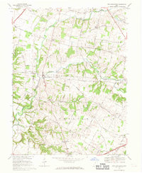
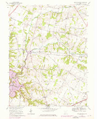
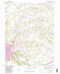
Editions of this 1968 New Burlington Map
4 editions found
Other maps of this area

1907 · Blanchester
USGS Topo · 1:62,500

1913 · Waynesville
USGS Topo · 1:62,500

1914 · Morrow
USGS Topo · 1:62,500

1915 · Waynesville
USGS Topo · 1:62,500

1916 · Morrow
USGS Topo · 1:62,500

1917 · Xenia
USGS Topo · 1:62,500

1947 · Columbus
USGS Topo · 1:250,000

1953 · Cincinnati
USGS Topo · 1:250,000

1955 · New Burlington
USGS Topo · 1:24,000
1955 · Waynesville
USGS Topo · 1:24,000