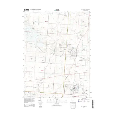
2013 Map of New Carlisle
USGS Topo · Published 2013About this map
New Carlisle serves as the primary hub of this landscape, situated at the intersection of routes leading to Medway and Brandt. The area is characterized by a dense network of family and community heritage sites, including numerous small burial grounds such as Studebaker Cem, McKendree Chapel Cem, and Hickory Grove Cem. These cemeteries, often adjacent to established agricultural tracts like Reciprocity Farm and Litteral Stud Farm, speak to the deep-rooted settlement patterns of the Miami and Clark county borderlands.
Find a feature on this map
174 named features on this map. Tap any name to fly to it.
Don’t see what you’re looking for? This feature index may not catch every label — zoom into the map to look around manually.
Map Details
Editions of this 2013 New Carlisle Map
This is the sole edition of this map. No revisions or reprints were ever made.
Other maps of this area

1904 · Springfield
USGS Topo · 1:62,500

1904 · Dayton
USGS Topo · 1:62,500

1906 · Dayton
USGS Topo · 1:62,500

1906 · Springfield
USGS Topo · 1:62,500

1914 · Troy
USGS Topo · 1:62,500

1914 · St. Paris
USGS Topo · 1:62,500

1916 · St. Paris
USGS Topo · 1:62,500

1944 · St. Paris
USGS Topo · 1:62,500

1944 · Troy
USGS Topo · 1:62,500

1947 · Columbus
USGS Topo · 1:250,000