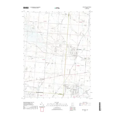
2019 Map of New Carlisle
USGS Topo · Published 2019About this map
New Carlisle serves as a central hub in this western Ohio landscape, where the convergence of the Miami and Clark County borders meets the northern reach of Huber Heights. The geography is defined by the winding course of Honey Creek and the Mad River, which anchor a network of suburban development and agricultural plots. The map reveals a dense distribution of local heritage markers, particularly family and church-affiliated burial grounds like Hickory Grove Cem and Studebaker Cem that dot the rural sections between established towns.
Find a feature on this map
108 named features on this map. Tap any name to fly to it.
Don’t see what you’re looking for? This feature index may not catch every label — zoom into the map to look around manually.
Map Details
Editions of this 2019 New Carlisle Map
This is the sole edition of this map. No revisions or reprints were ever made.
Other maps of this area

1904 · Springfield
USGS Topo · 1:62,500

1904 · Dayton
USGS Topo · 1:62,500

1906 · Dayton
USGS Topo · 1:62,500

1906 · Springfield
USGS Topo · 1:62,500

1914 · Troy
USGS Topo · 1:62,500

1914 · St. Paris
USGS Topo · 1:62,500

1916 · St. Paris
USGS Topo · 1:62,500

1944 · St. Paris
USGS Topo · 1:62,500

1944 · Troy
USGS Topo · 1:62,500

1947 · Columbus
USGS Topo · 1:250,000