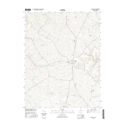
2016 Map of New Castle
USGS Topo · Published 2016About this map
New Castle and Eminence anchor this portion of Henry County, illustrating the transition of these Kentucky communities into the 21st century. The landscape is defined by the branching tributaries of the Little Kentucky River, including White Sulphur Fork and Fallen Timber Cr. These waterways create a complex topography of ridges and hollows that dictate the winding paths of rural routes like Campbellsburg Rd and Eminence Rd. For genealogists and local historians, several family-named burial sites are preserved across the terrain, notably the Chinn-Elley-Dupuy-Smith Cem and Webb Cem. Small-scale aviation facilities such as the John M Foree Airport and Deer Run Airpark sit alongside traditional water features like Eminence Lake and the Henry County Rod and Gun Club Lake, reflecting the diverse modern use of the land between these historic settlements.
Find a feature on this map
57 named features on this map. Tap any name to fly to it.
Don’t see what you’re looking for? This feature index may not catch every label — zoom into the map to look around manually.
Map Details
Editions of this 2016 New Castle Map
This is the sole edition of this map. No revisions or reprints were ever made.
Other maps of this area

1928 · New Castle
USGS Topo · 1:48,000

1932 · New Castle
USGS Topo · 1:62,500

1932 · La Grange
USGS Topo · 1:62,500

1952 · Worthville
USGS Topo · 1:24,000

1952 · Campbellsburg
USGS Topo · 1:24,000

1953 · Bedford
USGS Topo · 1:24,000

1954 · Ballardsville
USGS Topo · 1:24,000
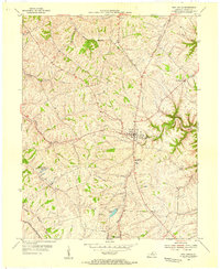
1954 · New Castle
USGS Topo · 1:24,000
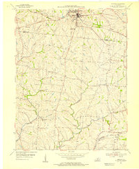
1954 · Eminence
USGS Topo · 1:24,000
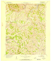
1954 · Smithfield
USGS Topo · 1:24,000