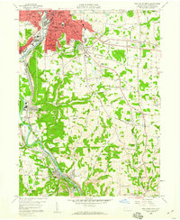
1958 Map of New Castle South
USGS Topo · Published 1960About this map
New Castle and its southern suburbs anchor this mid-century portrait of industrial Lawrence County, where heavy rail corridors and extractive industries define the landscape. The confluence of the Neshannock River and Shenango river valley serves as a hub for the Erie Railroad and the Pennsylvania Railroad, which snake through deep-cut valleys and past the New Castle Junction. The transition from the urban density of South New Castle to the outlying townships reveals a landscape shaped by coal and stone, dotted with numerous strip mines and a large quarry near West Pittsburg.
Find a feature on this map
104 named features on this map. Tap any name to fly to it.
Don’t see what you’re looking for? This feature index may not catch every label — zoom into the map to look around manually.
Map Details
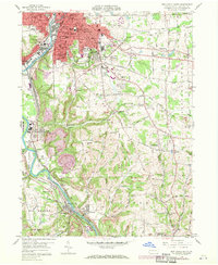
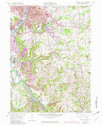
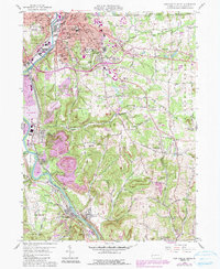
Editions of this 1958 New Castle South Map
4 editions found
Other maps of this area

1902 · New Castle
USGS Topo · 1:62,500

1904 · Newcastle
USGS Topo · 1:62,500

1905 · Neshannock
USGS Topo · 1:62,500

1907 · Neshannock
USGS Topo · 1:62,500

1908 · Zelienople
USGS Topo · 1:62,500

1910 · Zelienople
USGS Topo · 1:62,500

1913 · Mercer
USGS Topo · 1:62,500

1939 · Mercer
USGS Topo · 1:62,500

1943 · Mercer
USGS Topo · 1:62,500

1950 · Cleveland
USGS Topo · 1:250,000