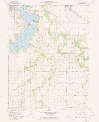
1961 Map of New City
USGS Topo · Published 1961About this map
Lake Springfield dominates the western landscape of this Sangamon County region, its northern reaches featuring Lake Park and the Lincoln Greens Golf Course. The map reflects a period of educational and residential expansion, noted by the presence of Sangamon State University and schools like Hazel Dell Sch near the growing suburb of Southlawn. In the rural hinterlands, the South Fork Sangamon River meanders through agricultural bottomlands, joined by tributaries such as Horse Creek and Brush Creek.
Find a feature on this map
37 named features on this map. Tap any name to fly to it.
Don’t see what you’re looking for? This feature index may not catch every label — zoom into the map to look around manually.
Map Details
Editions of this 1961 New City Map
3 editions found
Other maps of this area

1907 · Springfield
USGS Topo · 1:62,500

1922 · Divernon
USGS Topo · 1:62,500

1923 · Taylorville
USGS Topo · 1:62,500

1924 · Divernon
USGS Topo · 1:62,500

1925 · Taylorville
USGS Topo · 1:62,500

1930 · Springfield
USGS Topo · 1:62,500

1940 · Springfield
USGS Topo · 1:62,500

1950 · Springfield West
USGS Topo · 1:24,000

1950 · Springfield East
USGS Topo · 1:24,000

1954 · Mechanicsburg
USGS Topo · 1:62,500