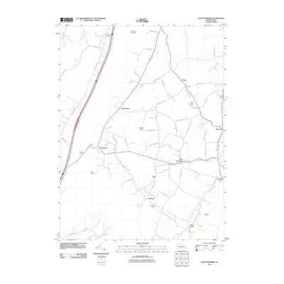
2010 Map of New Enterprise
USGS Topo · Published 2010About this map
New Enterprise serves as a central hub in this Bedford County landscape, where the rural character of central Pennsylvania is defined by the parallel ridges and valleys of Dunning Mountain and Middle Ridge. The 2010 survey illustrates a network of small agricultural settlements and hamlets, including Salemville, Lafayetteville, and Loysburg, connected by winding roads that follow the natural contours of the land. Waterways such as Potter Creek and Beaver Creek drain the valleys, providing the historic basis for early industry and settlement patterns.
Find a feature on this map
63 named features on this map. Tap any name to fly to it.
Don’t see what you’re looking for? This feature index may not catch every label — zoom into the map to look around manually.
Map Details
Editions of this 2010 New Enterprise Map
This is the sole edition of this map. No revisions or reprints were ever made.
Other maps of this area

1900 · Everett
USGS Topo · 1:62,500

1902 · Everett
USGS Topo · 1:62,500

1902 · Ebensburg
USGS Topo · 1:62,500

1902 · Hollidaysburg
USGS Topo · 1:62,500

1903 · Hollidaysburg
USGS Topo · 1:62,500

1904 · Ebensburg
USGS Topo · 1:62,500

1908 · Bedford
USGS Topo · 1:62,500

1910 · Bedford
USGS Topo · 1:62,500

1953 · Pittsburgh
USGS Topo · 1:250,000

1954 · Pittsburgh
USGS Topo · 1:250,000
Featured Places
- King, Kimmel Township
- Bedford Township, PA
- Waterside, South Woodbury Township
- East Saint Clair Township, PA
- Woodbury Township, PA