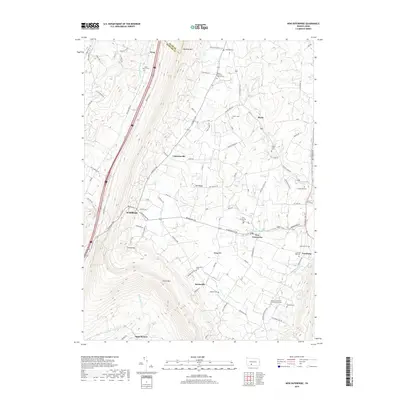
2019 Map of New Enterprise
USGS Topo · Published 2019About this map
Dunning Mountain and Evitts Mountain dominate the skyline of this Bedford County landscape, framing a valley rich with agricultural heritage and small rural settlements. In the center of the sheet, the village of New Enterprise serves as a local hub, surrounded by numerous family and denominational burial grounds including New Enterprise Cemetery and Waterside Cemetery. The pattern of small communities like Salemville, Lafayetteville, and Maria suggests a deeply rooted local culture tied to the land and the waterways of Potter Creek and Beaver Creek.
Find a feature on this map
84 named features on this map. Tap any name to fly to it.
Don’t see what you’re looking for? This feature index may not catch every label — zoom into the map to look around manually.
Map Details
Editions of this 2019 New Enterprise Map
This is the sole edition of this map. No revisions or reprints were ever made.
Other maps of this area

1900 · Everett
USGS Topo · 1:62,500

1902 · Everett
USGS Topo · 1:62,500

1902 · Ebensburg
USGS Topo · 1:62,500

1902 · Hollidaysburg
USGS Topo · 1:62,500

1903 · Hollidaysburg
USGS Topo · 1:62,500

1904 · Ebensburg
USGS Topo · 1:62,500

1908 · Bedford
USGS Topo · 1:62,500

1910 · Bedford
USGS Topo · 1:62,500

1953 · Pittsburgh
USGS Topo · 1:250,000

1954 · Pittsburgh
USGS Topo · 1:250,000
Featured Places
- King, Kimmel Township
- Bedford Township, PA
- Waterside, South Woodbury Township
- East Saint Clair Township, PA
- Woodbury Township, PA