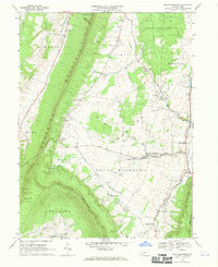
1968 Map of New Enterprise
USGS Topo · Published 1970About this map
Morrison Cove serves as the central agricultural heart of this Bedford County landscape, bordered by the steep, wooded ridgelines of Dunning Mountain to the west and Tussey Mountain to the east. This late-1960s survey illustrates a rural society organized around small crossroads settlements and family farms, with New Enterprise acting as a primary local hub. The presence of specialized facilities like the Northern Bedford Co High Sch and multiple rural congregations, including St Marks-Union Ch and St Johns Ch, reflects the community’s social structure during this period.
Find a feature on this map
43 named features on this map. Tap any name to fly to it.
Don’t see what you’re looking for? This feature index may not catch every label — zoom into the map to look around manually.
Map Details
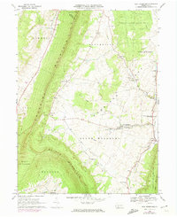
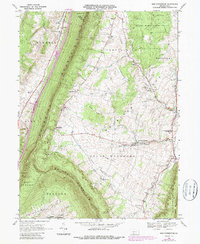
Editions of this 1968 New Enterprise Map
3 editions found
Other maps of this area

1900 · Everett
USGS Topo · 1:62,500

1902 · Everett
USGS Topo · 1:62,500

1902 · Ebensburg
USGS Topo · 1:62,500

1902 · Hollidaysburg
USGS Topo · 1:62,500

1903 · Hollidaysburg
USGS Topo · 1:62,500

1904 · Ebensburg
USGS Topo · 1:62,500

1908 · Bedford
USGS Topo · 1:62,500

1910 · Bedford
USGS Topo · 1:62,500

1953 · Pittsburgh
USGS Topo · 1:250,000

1954 · Pittsburgh
USGS Topo · 1:250,000
Featured Places
- King, Kimmel Township
- Bedford Township, PA
- Greenfield Township, PA
- Brumbaugh, South Woodbury Township
- New Enterprise, South Woodbury Township