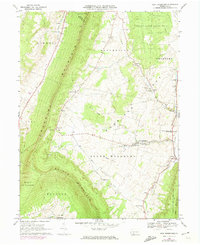
1968 Map of New Enterprise
USGS Topo · Published 1974About this map
Morrison Cove serves as the agricultural heart of this Bedford County landscape, bordered by the long ridges of Dunning Mountain and Tussey Mountain. In the late 1960s, these fertile valley floor lands were anchored by the crossroads of New Enterprise and Loysburg, where Yellow Creek winds through the gap. The map reveals a dense network of family-named landmarks and rural institutions, from St Johns Ch near Potter Creek Spring to Koontz Ch in the south. Several small quarries and a Gravel Pit indicate the local extractive industry that complemented the region's farming. In the north, State Game Lands No 41 covers the highland terrain, while the valley below contains numerous community burial grounds like Barley Cem and Hetrick Cem, providing essential details for genealogical research in South Woodbury and Bloomfield.
Find a feature on this map
48 named features on this map. Tap any name to fly to it.
Don’t see what you’re looking for? This feature index may not catch every label — zoom into the map to look around manually.
Map Details
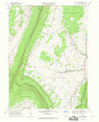
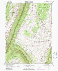
Editions of this 1968 New Enterprise Map
3 editions found
Other maps of this area

1900 · Everett
USGS Topo · 1:62,500

1902 · Everett
USGS Topo · 1:62,500

1902 · Ebensburg
USGS Topo · 1:62,500

1902 · Hollidaysburg
USGS Topo · 1:62,500

1903 · Hollidaysburg
USGS Topo · 1:62,500

1904 · Ebensburg
USGS Topo · 1:62,500

1908 · Bedford
USGS Topo · 1:62,500

1910 · Bedford
USGS Topo · 1:62,500

1953 · Pittsburgh
USGS Topo · 1:250,000

1954 · Pittsburgh
USGS Topo · 1:250,000
Featured Places
- King, Kimmel Township
- Bedford Township, PA
- Greenfield Township, PA
- Brumbaugh, South Woodbury Township
- New Enterprise, South Woodbury Township