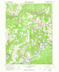
1964 Map of New Florence
USGS Topo · Published 1973About this map
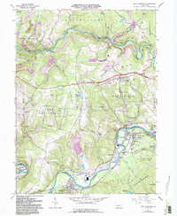
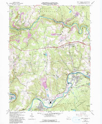
Blacklick Creek and the Conemaugh River define the industrial and residential geography of this Westmoreland and Indiana County borderland. By the mid-1960s, the landscape was heavily influenced by the mining sector, with numerous Strip Mine operations and Strip Mines appearing across the hillsides near Claghorn and Heshbon. The rail network of the Penn Central connects industrial points like the Compressor Station with established residential centers such as New Florence, Seward, and Armagh. Small rural settlements like Dilltown and Lockport persist alongside family and community landmarks, including Conrad Cem and United Joint High Sch. This map documents a transitional period when traditional coal extraction coincided with modern utility infrastructure, evidenced by the extensive network of pipelines crisscrossing the terrain near West Wheatfield.
Find a feature on this map
51 named features on this map. Tap any name to fly to it.
Don’t see what you’re looking for? This feature index may not catch every label — zoom into the map to look around manually.
Map Details
Editions of this 1964 New Florence Map
6 editions found
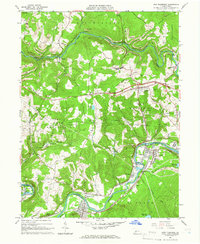
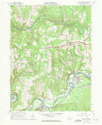
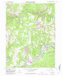
Other maps of this area

1902 · Indiana
USGS Topo · 1:62,500

1902 · Barnesboro
USGS Topo · 1:62,500

1904 · Barnesboro
USGS Topo · 1:62,500

1904 · Johnstown
USGS Topo · 1:62,500

1907 · Johnstown
USGS Topo · 1:62,500

1920 · New Florence
USGS Topo · 1:62,500

1921 · New Florence
USGS Topo · 1:48,000

1922 · New Florence
USGS Topo · 1:62,500

1943 · Punxsutawney
USGS Topo · 1:125,000

1944 · New Florence
USGS Topo · 1:62,500