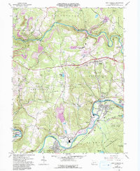
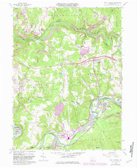
1964 Map of New Florence
USGS Topo · Published 1993About this map
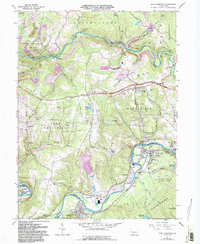
Industrial extraction and rail transport define this 1960s landscape at the border of Indiana and Westmoreland Counties. The Conemaugh River and Blacklick Creek serve as the primary corridors for development, where towns like New Florence and Seward sit alongside the Conemaugh rail line. The heavy footprint of the coal industry is evident in the numerous Strip Mines, Tipples, and reclaimed strip mines that dot the terrain between West Wheatfield and East Wheatfield.
Find a feature on this map
66 named features on this map. Tap any name to fly to it.
Don’t see what you’re looking for? This feature index may not catch every label — zoom into the map to look around manually.
Map Details
Editions of this 1964 New Florence Map
6 editions found
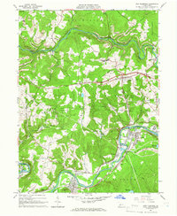
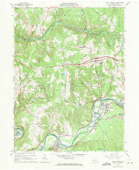
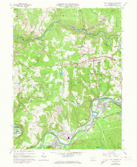
Other maps of this area

1902 · Indiana
USGS Topo · 1:62,500

1902 · Barnesboro
USGS Topo · 1:62,500

1904 · Barnesboro
USGS Topo · 1:62,500

1904 · Johnstown
USGS Topo · 1:62,500

1907 · Johnstown
USGS Topo · 1:62,500

1920 · New Florence
USGS Topo · 1:62,500

1921 · New Florence
USGS Topo · 1:48,000

1922 · New Florence
USGS Topo · 1:62,500

1943 · Punxsutawney
USGS Topo · 1:125,000

1944 · New Florence
USGS Topo · 1:62,500