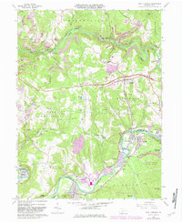
1964 Map of New Florence
USGS Topo · Published 1982About this map
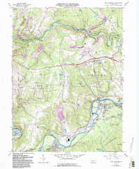
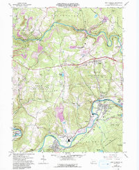
The Conemaugh River carves a deep path through the border of Westmoreland and Indiana counties, anchoring a landscape shaped by early industrial transit and mineral extraction. This 1964 survey captures the distinct settlement patterns of the region, from the concentrated residential blocks of Seward and New Florence to the smaller hamlets of Heshbon, Dilltown, and Armagh. The presence of numerous Strip Mines and extensive pipelines across West Wheatfield and Brush Valley illustrates the area's heavy reliance on the coal and energy sectors. Cultural landmarks like the United Joint High Sch and several remote graveyards, including Armagh Cem and St Marys Cem, provide essential data points for local genealogists. The terrain transitions into the forested reaches of Laurel Ridge State Park, where the Big Spring Reservoir marks the edge of the wilderness.
Find a feature on this map
54 named features on this map. Tap any name to fly to it.
Don’t see what you’re looking for? This feature index may not catch every label — zoom into the map to look around manually.
Map Details
Editions of this 1964 New Florence Map
6 editions found
Other maps of this area

1902 · Indiana
USGS Topo · 1:62,500

1902 · Barnesboro
USGS Topo · 1:62,500

1904 · Barnesboro
USGS Topo · 1:62,500

1904 · Johnstown
USGS Topo · 1:62,500

1907 · Johnstown
USGS Topo · 1:62,500

1920 · New Florence
USGS Topo · 1:62,500

1921 · New Florence
USGS Topo · 1:48,000

1922 · New Florence
USGS Topo · 1:62,500

1943 · Punxsutawney
USGS Topo · 1:125,000

1944 · New Florence
USGS Topo · 1:62,500