
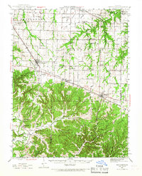
1942 Map of New Florence
USGS Topo · Published 1963About this map
New Florence and Jonesburg anchor the northern landscape along the Wabash rail corridor during the early 1940s. The map captures a high density of rural schoolhouses and country churches that defined mid-century Missouri life, including names like Sunbeam Sch, Orange Blossom Sch, and Laclede Sch. To the south, the topography shifts into the more dissected terrain of the Loutre and Bridgeport townships, where the Loutre River and its many tributaries, such as Whippoorwill Creek, carve through the land.
Find a feature on this map
81 named features on this map. Tap any name to fly to it.
Don’t see what you’re looking for? This feature index may not catch every label — zoom into the map to look around manually.
Map Details
Editions of this 1942 New Florence Map
2 editions found
Other maps of this area

1890 · Louisiana
USGS Topo · 1:125,000

1890 · Mexico
USGS Topo · 1:125,000

1890 · Hermann
USGS Topo · 1:125,000

1890 · Fulton
USGS Topo · 1:125,000

1935 · Morrison
USGS Topo · 1:48,000

1936 · Hermann
USGS Topo · 1:48,000

1937 · Silex
USGS Topo · 1:62,500

1939 · Silex
USGS Topo · 1:48,000

1940 · Montgomery City
USGS Topo · 1:62,500

1942 · Montgomery City
USGS Topo · 1:62,500