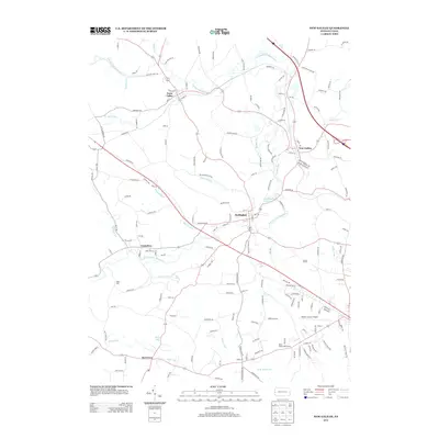
2013 Map of New Galilee
USGS Topo · Published 2013About this map
North Fork Little Beaver Creek meanders through the northwest corner of this Beaver County landscape, anchoring a series of small settlements that define the region's character. Enon Valley and New Galilee sit along the primary transit corridors, while Darlington serves as a central hub just south of the creek's bend. The area is characterized by a dense network of local roads and runs, including Jordan Run and Madden Run, which drain into the larger creek system.
Find a feature on this map
166 named features on this map. Tap any name to fly to it.
Don’t see what you’re looking for? This feature index may not catch every label — zoom into the map to look around manually.
Map Details
Editions of this 2013 New Galilee Map
This is the sole edition of this map. No revisions or reprints were ever made.
Other maps of this area

1901 · Beaver
USGS Topo · 1:62,500

1902 · New Castle
USGS Topo · 1:62,500

1904 · Newcastle
USGS Topo · 1:62,500

1904 · Wellsville
USGS Topo · 1:62,500

1904 · Beaver
USGS Topo · 1:62,500

1907 · Columbiana
USGS Topo · 1:62,500

1909 · Columbiana
USGS Topo · 1:62,500

1937 · Wellsville
USGS Topo · 1:62,500

1944 · Wellsville
USGS Topo · 1:62,500

1951 · Canton
USGS Topo · 1:250,000