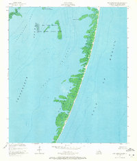
1951 Map of New Harbor Islands
USGS Topo · Published 1972About this map
The Chandeleur Islands stretch across this mid-century hydrographic study, forming a delicate barrier between the Gulf of Mexico and the interior sounds of St. Bernard Parish. This coastal landscape is defined by its shifting sands and tidal reaches, including the New Harbor Islands and the North Islands, which are protected as part of the Breton National Wildlife Refuge. The map provides a detailed look at the underwater topography of the era, recording soundings and depth curves through Smack Channel and Shoalwater Bay. Notable landmarks such as Redfish Point offer fixed reference points for maritime navigation. The mapping reflects the state of the coastline shortly after 1950, capturing the intricate shoreline and shoals before decades of coastal erosion and storm activity altered the profile of these outer islands.
Find a feature on this map
9 named features on this map. Tap any name to fly to it.
Don’t see what you’re looking for? This feature index may not catch every label — zoom into the map to look around manually.
Map Details
Editions of this 1951 New Harbor Islands Map
3 editions found
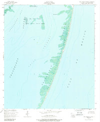
Other maps of this area

1951 · North Islands
USGS Topo · 1:24,000

1951 · New Harbor Islands
USGS Topo · 1:24,000
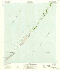
1951 · Stake Islands
USGS Topo · 1:24,000
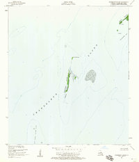
1951 · Freemason Island
USGS Topo · 1:24,000

1957 · Breton Sound
USGS Topo · 1:250,000

1961 · Breton Sound
USGS Topo · 1:250,000

1982 · North Islands
USGS Topo · 1:100,000
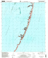
1998 · New Harbor Islands
USGS Topo · 1:24,000
1998 · Freemason Island
USGS Topo · 1:24,000
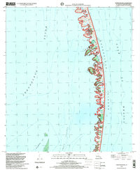
1998 · North Islands
USGS Topo · 1:24,000