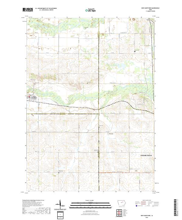
2022 Map of New Hartford
USGS Topo · Published 2022About this map
Beaver Creek and the West Fork Cedar River define the agrarian landscape across the meeting point of Butler, Grundy, and Black Hawk counties. This area is anchored by the town of New Hartford, where the local grid meets Diagonal Rd and Main St. The map reveals a high concentration of small burial grounds that speak to the early settlement of these townships, including the German M E Church Cem, Gerholdt Cem, and Rude Cem.
Find a feature on this map
65 named features on this map. Tap any name to fly to it.
Don’t see what you’re looking for? This feature index may not catch every label — zoom into the map to look around manually.
Map Details
Editions of this 2022 New Hartford Map
This is the sole edition of this map. No revisions or reprints were ever made.
Other maps of this area

1954 · Waterloo
USGS Topo · 1:250,000

1955 · Waterloo
USGS Topo · 1:250,000

1963 · Waverly
USGS Topo · 1:24,000

1963 · Hudson
USGS Topo · 1:24,000

1963 · Cedar Falls
USGS Topo · 1:24,000

1971 · Zaneta
USGS Topo · 1:24,000

1971 · Shell Rock
USGS Topo · 1:24,000

1971 · Dike
USGS Topo · 1:24,000

1971 · Coster
USGS Topo · 1:24,000

1971 · Stout
USGS Topo · 1:24,000