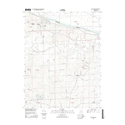
2015 Map of New Haven
USGS Topo · Published 2015About this map
The Missouri River defines the northern edge of this landscape, separating the rugged bluffs of Franklin County from Warren County to the north. New Haven serves as the primary hub, situated just south of Goose Island and the sprawling river bottomlands. The area's settlement pattern is deeply connected to its drainage network, with Big Berger Creek, Wildcat Cr, and Bucklick Creek carving through the terrain towards the river.
Find a feature on this map
102 named features on this map. Tap any name to fly to it.
Don’t see what you’re looking for? This feature index may not catch every label — zoom into the map to look around manually.
Map Details
Editions of this 2015 New Haven Map
This is the sole edition of this map. No revisions or reprints were ever made.
Other maps of this area

1890 · Hermann
USGS Topo · 1:125,000

1903 · Sullivan
USGS Topo · 1:125,000

1935 · Gerald
USGS Topo · 1:48,000

1936 · Hermann
USGS Topo · 1:48,000

1941 · Gerald
USGS Topo · 1:62,500

1942 · Hermann
USGS Topo · 1:62,500

1944 · Gerald
USGS Topo · 1:62,500

1945 · Hermann
USGS Topo · 1:62,500

1946 · Union
USGS Topo · 1:62,500

1948 · Union
USGS Topo · 1:62,500