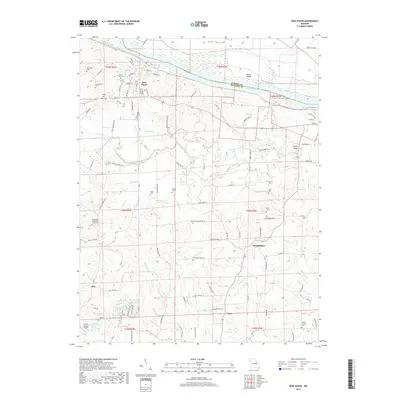
2017 Map of New Haven
USGS Topo · Published 2017About this map
The Missouri River serves as the northern boundary of this Franklin County landscape, where the town of New Haven sits along the southern bank. Below the river bluffs, the terrain transitions into a dense network of creek valleys, including Boeuf Creek and Bucklick Cr, which define the agricultural layout of the region. This 2017 survey reveals a deeply rooted rural community, marked by a high density of family and church burial grounds such as Saint Peter Cem, Nauser Cem, and Alder Cem. The settlement pattern follows high ground between the drainage of Big Berger Creek and Little Boeuf Cr, with small historic hubs like Kiel, Lyon, and Campbellton serving as local anchors. Notable landmarks like Enoch Knob and Struebbes Lake provide distinct geographic points of reference within this traditional Missouri river hills environment.
Find a feature on this map
109 named features on this map. Tap any name to fly to it.
Don’t see what you’re looking for? This feature index may not catch every label — zoom into the map to look around manually.
Map Details
Editions of this 2017 New Haven Map
This is the sole edition of this map. No revisions or reprints were ever made.
Other maps of this area

1890 · Hermann
USGS Topo · 1:125,000

1903 · Sullivan
USGS Topo · 1:125,000

1935 · Gerald
USGS Topo · 1:48,000

1936 · Hermann
USGS Topo · 1:48,000

1941 · Gerald
USGS Topo · 1:62,500

1942 · Hermann
USGS Topo · 1:62,500

1944 · Gerald
USGS Topo · 1:62,500

1945 · Hermann
USGS Topo · 1:62,500

1946 · Union
USGS Topo · 1:62,500

1948 · Union
USGS Topo · 1:62,500