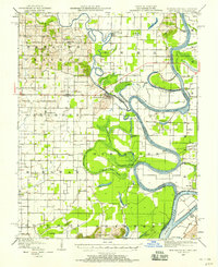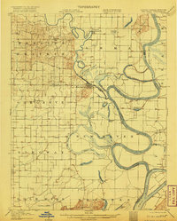
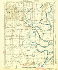
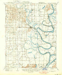
1906 Map of New Haven
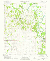
USGS Topo · Published 1920About this map
New Haven sits at the heart of this landscape where the winding Little Wabash River meets the larger Wabash River, creating a complex network of sloughs and cutoffs. The map documents an era of active river commerce and agrarian settlement before modern flood controls altered the drainage patterns. Researchers will find numerous small hamlets and landings such as Cottonwood, Inman, and Concord Emma P.O., alongside the prominent Dogtown Ferry and Mackeys Ferry river crossings. The terrain transitions from the low-lying Goosepond Swamp to the elevated Dogtown Hills and Shawneetown Hills in the south. This survey captures the intricate boundary lines between Illinois, Indiana, and Kentucky, including the Little Chain Cutoff and the fertile grounds of Heralds Prairie, providing a detailed look at the local geography of Gallatin and White counties at the turn of the century.
Find a feature on this map
56 named features on this map. Tap any name to fly to it.
Don’t see what you’re looking for? This feature index may not catch every label — zoom into the map to look around manually.
Map Details
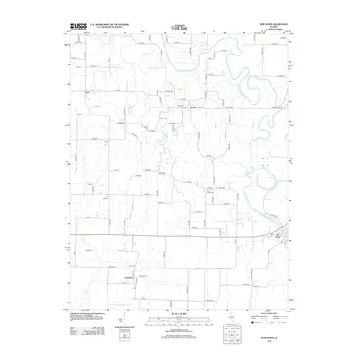
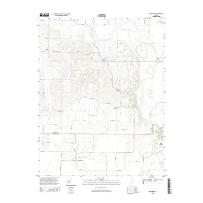
Editions of this 1906 New Haven Map
4 editions found

Historical Maps of Ridgway Through Time
9 maps found