Loading...
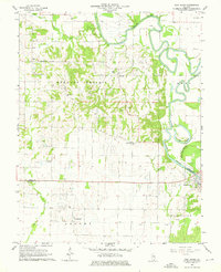
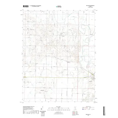
Loading map...1906 Map of New Haven
USGS Topo · Published 1939About this map
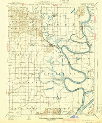
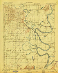
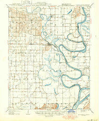
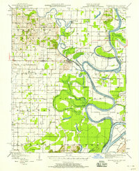
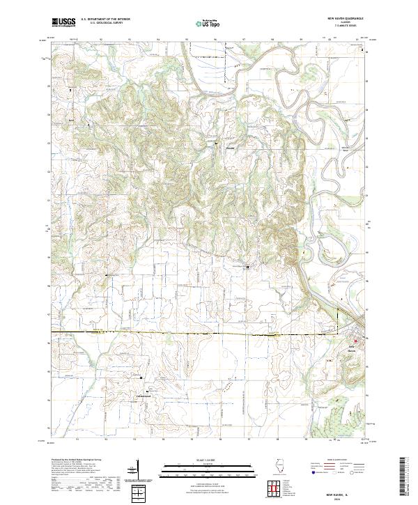
The Little Wabash River and the Wabash River dominate this landscape at the intersection of Illinois, Indiana, and Kentucky. In the late 1930s, the river system exhibits a complex network of active channels and remnant water bodies, including Old Channel, Little Chain Cutoff, and Winners Bend. Numerous sloughs and ponds like Goosepond Swamp and Yellowbank Slough define the bottomlands, indicating a terrain prone to frequent flooding and shifting river courses.
Find a feature on this map
52 named features on this map. Tap any name to fly to it.
Don’t see what you’re looking for? This feature index may not catch every label — zoom into the map to look around manually.
Map Details
Date Portrayed1906
Date Published1939
PublisherU.S. Geological Survey
Map TypeTopographic
Scale1:62,500
Physical Dimensions16.4 x 19.8 inches
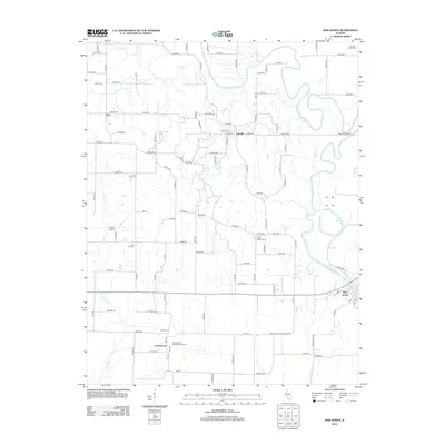
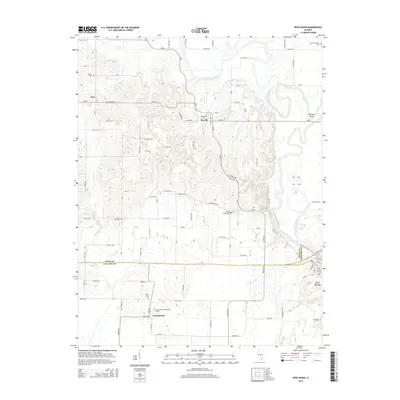
Editions of this 1906 New Haven Map
4 editions found

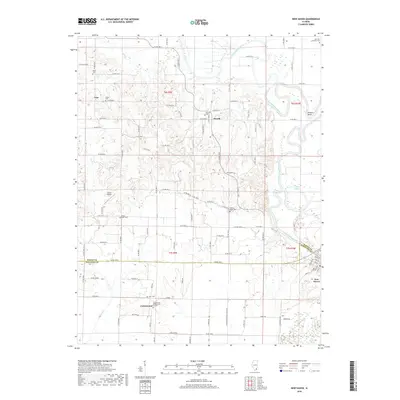
Historical Maps of Ridgway Through Time
9 maps found

Featured Locations
Source Details
SourceU.S. Geological Survey
CopyrightPublic Domain