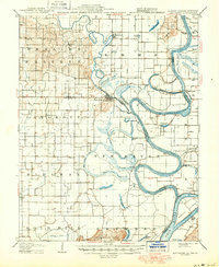
1906 Map of New Haven
USGS Topo · Published 1950About this map
The Wabash River meanders through the heart of this landscape, its complex oxbows and abandoned channels defining the borders of Illinois, Indiana, and Kentucky. At its northern end, New Haven sits along the west bank near the confluence of the Little Wabash River, serving as a focal point for a region characterized by extensive wetlands and seasonal sloughs. The geography here is dominated by water, from the winding path of Running Slough to the broad basins of Goosepond Swamp and Fishpond Swamp.
Find a feature on this map
58 named features on this map. Tap any name to fly to it.
Don’t see what you’re looking for? This feature index may not catch every label — zoom into the map to look around manually.
Map Details
Editions of this 1906 New Haven Map
4 editions found
Other maps of this area

1903 · New Harmony
USGS Topo · 1:62,500

1903 · Patoka
USGS Topo · 1:125,000

1905 · Eldorado
USGS Topo · 1:62,500

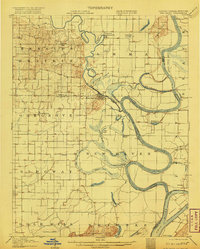
1905 · New Haven
USGS Topo · 1:62,500

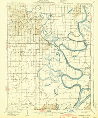
1906 · New Haven
USGS Topo · 1:62,500

1906 · Eldorado
USGS Topo · 1:62,500

1907 · Morganfield
USGS Topo · 1:62,500

1916 · Shawneetown
USGS Topo · 1:62,500

1916 · Equality
USGS Topo · 1:62,500

1917 · Uniontown
USGS Topo · 1:62,500