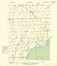
1936 Map of New Haven
USGS Topo · Published 1936About this map
New Haven and New Baltimore anchor this 1930s coastal landscape in Macomb County, where the village and township boundaries are clearly delineated against the waters of Anchor Bay. The Grand Trunk railroad cuts diagonally across the terrain, serving as a primary transit corridor connecting Chesterfield Sta and the surrounding agricultural hinterland. This era of Michigan development is marked by a transition from rural farmsteads to established shorefront communities like Pointe Lakeside and Auvase.
Find a feature on this map
86 named features on this map. Tap any name to fly to it.
Don’t see what you’re looking for? This feature index may not catch every label — zoom into the map to look around manually.
Map Details
Editions of this 1936 New Haven Map
This is the sole edition of this map. No revisions or reprints were ever made.
Other maps of this area
1912 · Mt Clemens
USGS Topo · 1:62,500
1914 · Armada
USGS Topo · 1:62,500
1914 · Algonac
USGS Topo · 1:62,500
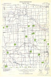
1928 · Armada
USGS Topo · 1:62,500
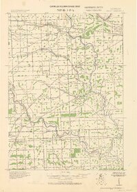
1928 · Hicky
USGS Topo · 1:62,500
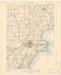
1929 · Mt Clemens
USGS Topo · 1:62,500
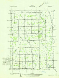
1936 · Waldenburg
USGS Topo · 1:31,680
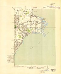
1936 · Selfridge Field
USGS Topo · 1:31,680
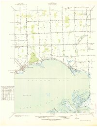
1936 · New Baltimore
USGS Topo · 1:31,680
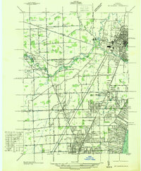
1936 · Mt Clemens
USGS Topo · 1:31,680
Featured Places
- Clinton Township, MI
- Macomb Township, MI
- Chesterfield Township, MI
- Harrison Township, MI
- New Baltimore, MI