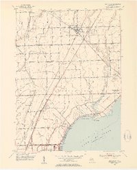
1952 Map of New Haven
USGS Topo · Published 1954About this map
New Haven serves as a central hub in this mid-century portrait of Macomb County, situated along the Grand Trunk railroad line. The landscape is a network of agricultural drainage and small settlements, including Meade, Crandall, and Milton. To the south, the terrain meets the waters of Anchor Bay and Lake St Clair, where residential developments like Anchor Bay Gardens and Point Lakeside line the shore. This survey provides a precise look at the rural school system of the era, marking the locations of the Harris, Meade, Bates, and Quick schools before the consolidation of districts.
Find a feature on this map
64 named features on this map. Tap any name to fly to it.
Don’t see what you’re looking for? This feature index may not catch every label — zoom into the map to look around manually.
Map Details
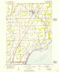
Editions of this 1952 New Haven Map
2 editions found
Other maps of this area

1912 · Mt Clemens
USGS Topo · 1:62,500

1914 · Armada
USGS Topo · 1:62,500

1914 · Algonac
USGS Topo · 1:62,500

1928 · Armada
USGS Topo · 1:62,500

1928 · Hicky
USGS Topo · 1:62,500

1929 · Mt Clemens
USGS Topo · 1:62,500

1936 · New Haven
USGS Topo · 1:31,680

1936 · Waldenburg
USGS Topo · 1:31,680

1936 · Selfridge Field
USGS Topo · 1:31,680

1936 · New Baltimore
USGS Topo · 1:31,680
Featured Places
- Clinton Township, MI
- Macomb Township, MI
- Chesterfield Township, MI
- Harrison Township, MI
- New Baltimore, MI