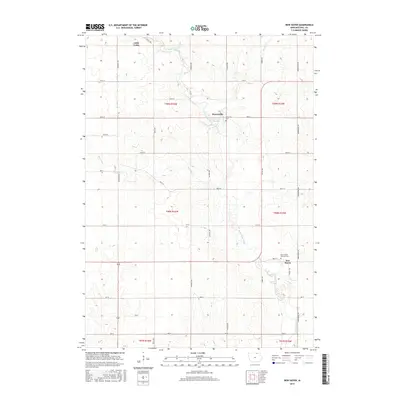
2015 Map of New Haven
USGS Topo · Published 2015About this map
The Little Cedar River winds through the heart of this Mitchell County landscape, dictating the placement of early settlements and local infrastructure. In the northern reaches, Little Cedar serves as a primary point of reference, while further downstream, the small community of Brownville is situated near the riverbanks, accompanied by the Brownville Cem. The terrain is defined by a series of north-south tributaries, including Beaver Cr and Burr Oak Cr, which cut through the agricultural sections of T99N and T98N. To the southeast, the village of New Haven provides a center for the surrounding rural area, marked by the presence of Saint Peters Catholic Cem nearby. This 2015 survey illustrates a persistent rural grid system of numbered streets and named avenues like Timber Ave and Shadow Ave, reflecting a landscape deeply committed to agricultural production and local heritage.
Find a feature on this map
37 named features on this map. Tap any name to fly to it.
Don’t see what you’re looking for? This feature index may not catch every label — zoom into the map to look around manually.
Map Details
Editions of this 2015 New Haven Map
This is the sole edition of this map. No revisions or reprints were ever made.
Other maps of this area

1954 · Mason City
USGS Topo · 1:250,000

1957 · Mason City
USGS Topo · 1:250,000

1958 · Mason City
USGS Topo · 1:250,000

1971 · Orchard
USGS Topo · 1:24,000

1971 · Colwell
USGS Topo · 1:24,000

1971 · Floyd
USGS Topo · 1:24,000

1972 · Osage
USGS Topo · 1:24,000

1972 · Mc Intire
USGS Topo · 1:24,000

1972 · Little Cedar
USGS Topo · 1:24,000

1972 · New Haven
USGS Topo · 1:24,000