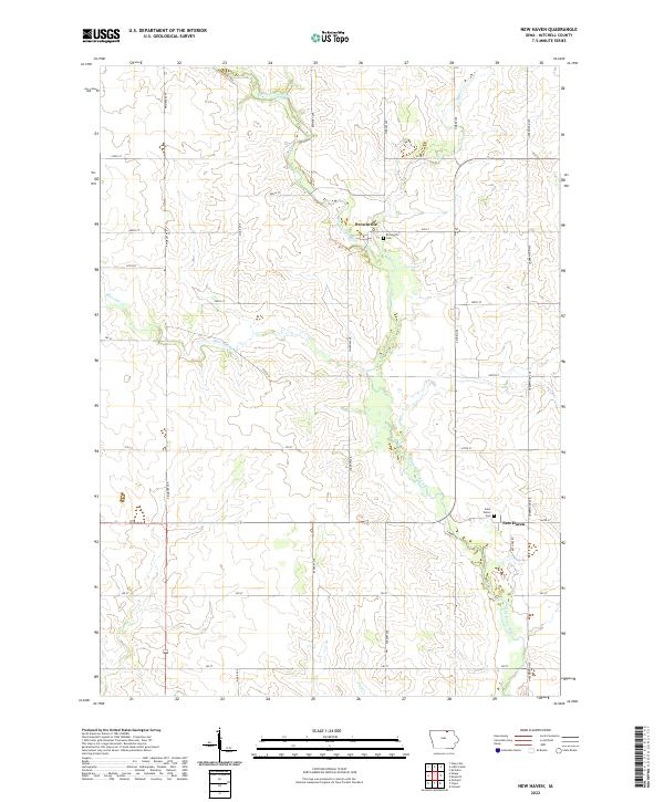
2022 Map of New Haven
USGS Topo · Published 2022About this map
The Little Cedar River carves a winding path through this agricultural landscape in Mitchell County, Iowa. The river valley acts as the primary topographical anchor for the rural communities of New Haven and Brownville, both situated along its course. This 2022 survey documents a grid of section lines and gravel roads, including Timber Ave and Rampart Ave, which define the region's long-standing land-use patterns. Local heritage is centered around the Saint Peters Cem near New Haven and the Brownville Cem further north, which serve as important genealogical touchstones for the area's farming families. Smaller waterways like Beaver Cr, Burr Oak Cr, and Fish Cr feed into the main river, creating a complex drainage system that supports the surrounding farmsteads and open fields.
Find a feature on this map
36 named features on this map. Tap any name to fly to it.
Don’t see what you’re looking for? This feature index may not catch every label — zoom into the map to look around manually.
Map Details
Editions of this 2022 New Haven Map
This is the sole edition of this map. No revisions or reprints were ever made.
Other maps of this area

1954 · Mason City
USGS Topo · 1:250,000

1957 · Mason City
USGS Topo · 1:250,000

1958 · Mason City
USGS Topo · 1:250,000

1971 · Orchard
USGS Topo · 1:24,000

1971 · Colwell
USGS Topo · 1:24,000

1971 · Floyd
USGS Topo · 1:24,000

1972 · Osage
USGS Topo · 1:24,000

1972 · Mc Intire
USGS Topo · 1:24,000

1972 · Little Cedar
USGS Topo · 1:24,000

1972 · New Haven
USGS Topo · 1:24,000