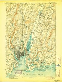
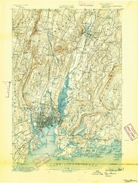
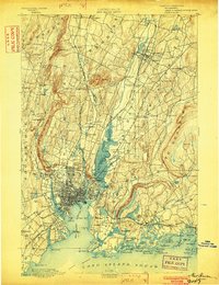
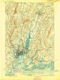
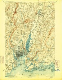
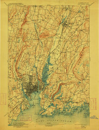
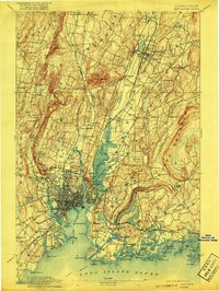
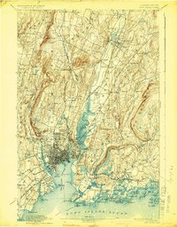
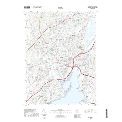
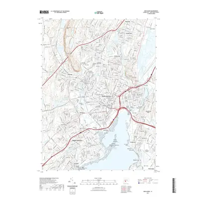
1892 Map of New Haven
USGS Topo · Published 1905About this map
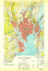
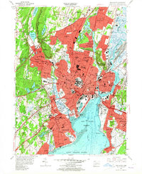
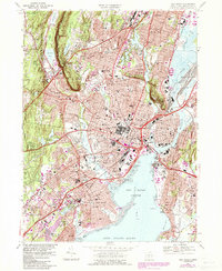
New Haven Harbor serves as the focal point for this late nineteenth-century coastal study, where the industrial and residential grid of the city meets the waters of Long Island Sound. The map reveals a densely settled corridor following the Quinnipiac River through Fair Haven and up to Wallingford, defined by an extensive rail network including the Air Line Division and the Shore Line Div. of the New York New Haven and Hartford R. R.
Find a feature on this map
119 named features on this map. Tap any name to fly to it.
Don’t see what you’re looking for? This feature index may not catch every label — zoom into the map to look around manually.
Map Details
Editions of this 1892 New Haven Map
13 editions found

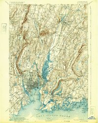
1892 edition
14.8 x 21.2 inches
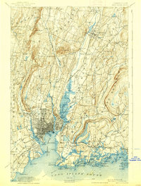
1893 edition
16.6 x 22 inches

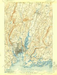
1898 edition
15 x 20.4 inches
1902 edition
16.3 x 21.3 inches
1905 edition
16.3 x 21.7 inches
1907 edition
16.3 x 21.5 inches
1909 edition
16.4 x 21 inches
1912 edition
16.1 x 21.2 inches
1917 edition
15.6 x 20.9 inches
1924 edition
16.4 x 20.9 inches
1932 edition
16.4 x 20.7 inches
1938 edition
15.8 x 20.9 inches
1944 edition
15.7 x 20.8 inches
Historical Maps of New Haven Through Time
11 maps found
1892 New Haven
New Haven County, CT

1921 New Haven
New Haven County, CT
1943 New Haven
New Haven County, CT
1954 New Haven
New Haven County, CT
1967 New Haven
New Haven County, CT

1983 New Haven
New Haven County, CT
2012 New Haven
New Haven County, CT
2015 New Haven
New Haven County, CT
2018 New Haven
New Haven County, CT
2021 New Haven
New Haven County, CT
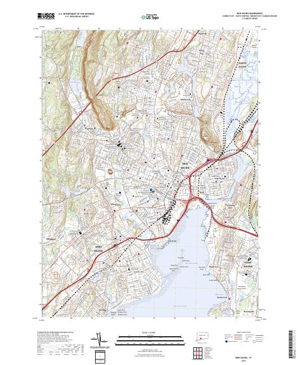
2024 New Haven
New Haven County, CT