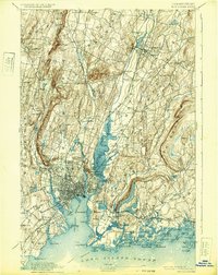
1892 Map of New Haven
USGS Topo · Published 1932About this map
The New Haven Harbor and the dense street grids of late-19th-century New Haven anchor this coastal Connecticut landscape. The city’s industrial and maritime foundations are evident in the complex railway junctions of the New York New Haven and Hartford R.R., including the Air Line Division and Northampton Div.. Beyond the urban center, the terrain is defined by dramatic trap rock ridges like West Rock and East Rock, which flank the valley of the Quinnipiac River. Small manufacturing villages and transit hubs such as Whitneyville, Centerville, and Montowese dot the rural interior, while coastal landmarks like Savin Rock and Ft. Hale reflect the area’s longstanding recreational and defensive history. This survey illustrates the transition from high-density urban wharf districts to the outlying farming communities of Cheshire and Wallingford before modern suburban sprawl reshaped the region.
Find a feature on this map
116 named features on this map. Tap any name to fly to it.
Don’t see what you’re looking for? This feature index may not catch every label — zoom into the map to look around manually.
Map Details
Editions of this 1892 New Haven Map
13 editions found

1892 edition
14.8 x 21.2 inches
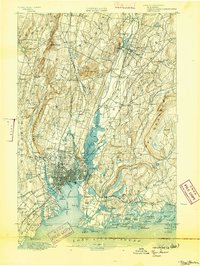
1893 edition
16.6 x 22 inches
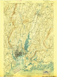
1898 edition
15 x 20.4 inches
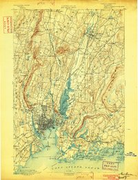
1902 edition
16.3 x 21.3 inches
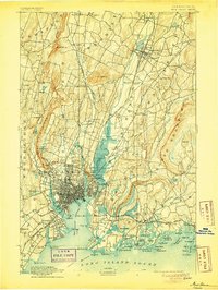
1905 edition
16.3 x 21.7 inches
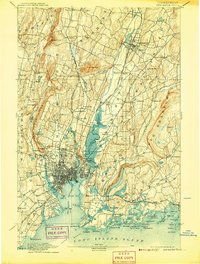
1907 edition
16.3 x 21.5 inches
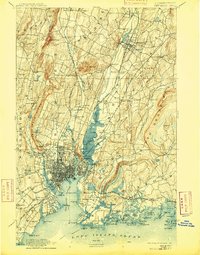
1909 edition
16.4 x 21 inches
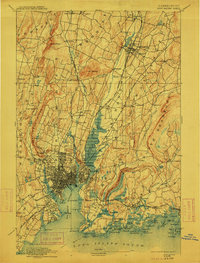
1912 edition
16.1 x 21.2 inches
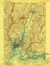
1917 edition
15.6 x 20.9 inches
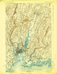
1924 edition
16.4 x 20.9 inches
1932 edition
16.4 x 20.7 inches
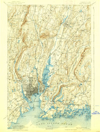
1938 edition
15.8 x 20.9 inches
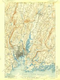
1944 edition
15.7 x 20.8 inches
Other maps of this area

1889 · Derby
USGS Topo · 1:62,500

1891 · Bridgeport
USGS Topo · 1:62,500

1891 · Derby
USGS Topo · 1:62,500
1892 · New Haven
USGS Topo · 1:62,500

1892 · Meriden
USGS Topo · 1:62,500

1893 · Bridgeport
USGS Topo · 1:62,500

1893 · Guilford
USGS Topo · 1:62,500

1893 · Middletown
USGS Topo · 1:62,500

1893 · Waterbury
USGS Topo · 1:62,500

1893 · Meriden
USGS Topo · 1:62,500