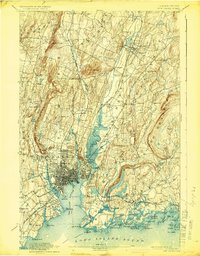
1892 Map of New Haven
USGS Topo · Published 1924About this map
The dense urban grid of New Haven anchors this late nineteenth-century survey, revealing a landscape defined by the convergence of major rail corridors and coastal topography. The city's industrial and maritime importance is evident in the sprawling rail yards and docks along New Haven Harbor, where the New York New Haven and Hartford R. R. and its various branches, including the Air Line Division and Shore Line Div., branch out toward the interior and along the coast. To the west, the steep basalt cliffs of West Rock Ridge and West Rock, featuring the historic Judges Cave, create a dramatic vertical barrier between the city and the outlying settlements in Woodbridge and Bethany.
Find a feature on this map
120 named features on this map. Tap any name to fly to it.
Don’t see what you’re looking for? This feature index may not catch every label — zoom into the map to look around manually.
Map Details
Editions of this 1892 New Haven Map
13 editions found

1892 edition
14.8 x 21.2 inches
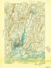
1893 edition
16.6 x 22 inches
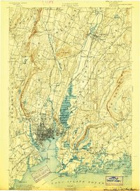
1898 edition
15 x 20.4 inches
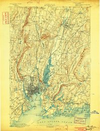
1902 edition
16.3 x 21.3 inches
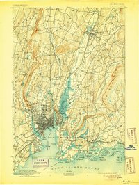
1905 edition
16.3 x 21.7 inches
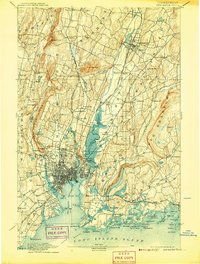
1907 edition
16.3 x 21.5 inches
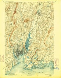
1909 edition
16.4 x 21 inches
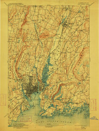
1912 edition
16.1 x 21.2 inches
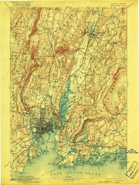
1917 edition
15.6 x 20.9 inches
1924 edition
16.4 x 20.9 inches
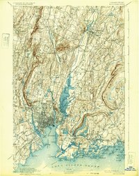
1932 edition
16.4 x 20.7 inches
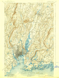
1938 edition
15.8 x 20.9 inches
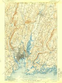
1944 edition
15.7 x 20.8 inches
Other maps of this area

1889 · Derby
USGS Topo · 1:62,500

1891 · Bridgeport
USGS Topo · 1:62,500

1891 · Derby
USGS Topo · 1:62,500
1892 · New Haven
USGS Topo · 1:62,500

1892 · Meriden
USGS Topo · 1:62,500

1893 · Bridgeport
USGS Topo · 1:62,500

1893 · Guilford
USGS Topo · 1:62,500

1893 · Middletown
USGS Topo · 1:62,500

1893 · Waterbury
USGS Topo · 1:62,500

1893 · Meriden
USGS Topo · 1:62,500