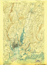
1892 Map of New Haven
USGS Topo · Published 1898About this map
New Haven Harbor serves as the focal point of this late 19th-century coastal survey, showing the city's dense grid just before the turn of the century. The landscape is defined by the dramatic trap rock ridges of West Rock Ridge and East Rock, which hem in the urban center and the winding Quinnipiac River. This era of development is marked by an extensive rail network, including the Air Line Division and the Northampton Div., which connected industrial nodes like Whitneyville and Fair Haven to the broader regional economy.
Find a feature on this map
119 named features on this map. Tap any name to fly to it.
Don’t see what you’re looking for? This feature index may not catch every label — zoom into the map to look around manually.
Map Details
Editions of this 1892 New Haven Map
13 editions found

1892 edition
14.8 x 21.2 inches
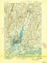
1893 edition
16.6 x 22 inches
1898 edition
15 x 20.4 inches
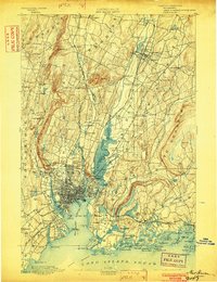
1902 edition
16.3 x 21.3 inches
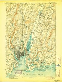
1905 edition
16.3 x 21.7 inches
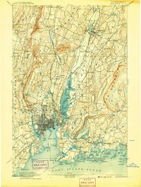
1907 edition
16.3 x 21.5 inches
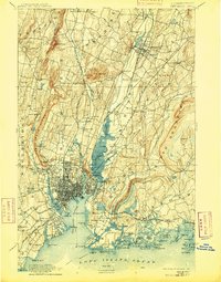
1909 edition
16.4 x 21 inches
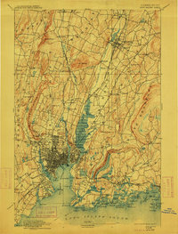
1912 edition
16.1 x 21.2 inches
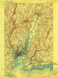
1917 edition
15.6 x 20.9 inches
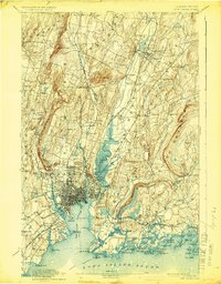
1924 edition
16.4 x 20.9 inches
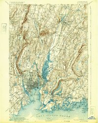
1932 edition
16.4 x 20.7 inches
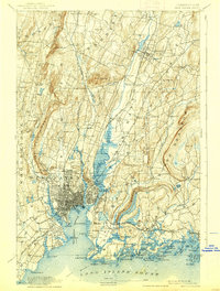
1938 edition
15.8 x 20.9 inches
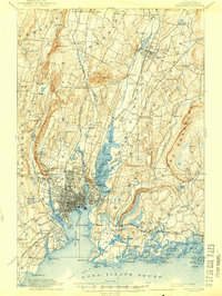
1944 edition
15.7 x 20.8 inches
Other maps of this area

1889 · Derby
USGS Topo · 1:62,500

1891 · Bridgeport
USGS Topo · 1:62,500

1891 · Derby
USGS Topo · 1:62,500
1892 · New Haven
USGS Topo · 1:62,500

1892 · Meriden
USGS Topo · 1:62,500

1893 · Bridgeport
USGS Topo · 1:62,500

1893 · Guilford
USGS Topo · 1:62,500

1893 · Middletown
USGS Topo · 1:62,500

1893 · Waterbury
USGS Topo · 1:62,500

1893 · Meriden
USGS Topo · 1:62,500