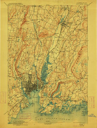
1892 Map of New Haven
USGS Topo · Published 1912About this map
The New York New Haven and Hartford R. R. serves as the backbone of this late nineteenth-century industrial landscape, connecting the dense city of New Haven to outlying manufacturing and agricultural hubs. To the north, the distinctive Mt. Carmel formation, known as the Sleeping Giant, dominates the terrain above Centerville and Angerville. The map documents a period of significant coastal development along Long Island Sound, from the recreational destination of Savin Rock to the harbor defenses at Ft. Hale. Inland, the Quinnipiac River valley shows a established network of settlements like Wallingford and North Haven Sta., while more rugged areas such as West Rock Ridge contain local landmarks like Judges Cave. This record details the early urbanization of the corridor before modern highway systems reorganized the region's movement and geography.
Find a feature on this map
122 named features on this map. Tap any name to fly to it.
Don’t see what you’re looking for? This feature index may not catch every label — zoom into the map to look around manually.
Map Details
Editions of this 1892 New Haven Map
13 editions found

1892 edition
14.8 x 21.2 inches
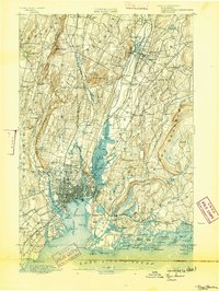
1893 edition
16.6 x 22 inches
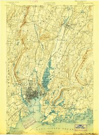
1898 edition
15 x 20.4 inches
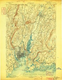
1902 edition
16.3 x 21.3 inches
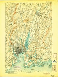
1905 edition
16.3 x 21.7 inches
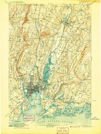
1907 edition
16.3 x 21.5 inches
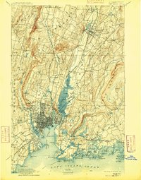
1909 edition
16.4 x 21 inches
1912 edition
16.1 x 21.2 inches
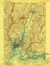
1917 edition
15.6 x 20.9 inches
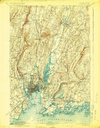
1924 edition
16.4 x 20.9 inches
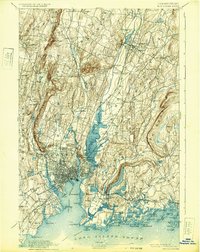
1932 edition
16.4 x 20.7 inches
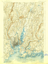
1938 edition
15.8 x 20.9 inches
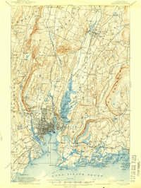
1944 edition
15.7 x 20.8 inches
Other maps of this area

1889 · Derby
USGS Topo · 1:62,500

1891 · Bridgeport
USGS Topo · 1:62,500

1891 · Derby
USGS Topo · 1:62,500
1892 · New Haven
USGS Topo · 1:62,500

1892 · Meriden
USGS Topo · 1:62,500

1893 · Bridgeport
USGS Topo · 1:62,500

1893 · Guilford
USGS Topo · 1:62,500

1893 · Middletown
USGS Topo · 1:62,500

1893 · Waterbury
USGS Topo · 1:62,500

1893 · Meriden
USGS Topo · 1:62,500