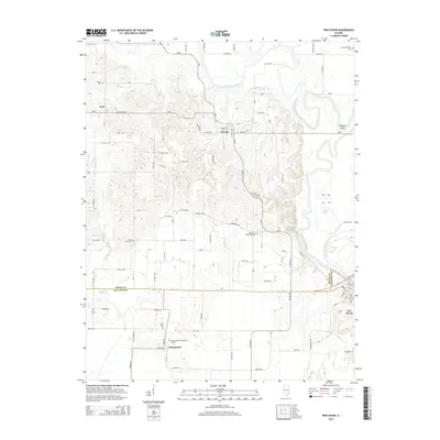
2015 Map of New Haven
USGS Topo · Published 2015About this map
New Haven sits at the intersection of river and road in southeastern Illinois, where the Little Wabash River defines the landscape with its winding course and oxbows like The Bayou. This 2015 update reflects a rural area shaped by its proximity to the White Co Gallatin Co line, featuring a network of county roads that connect long-standing agricultural settlements. The map is particularly useful for genealogical research, documenting numerous family and community burial sites such as the Garrison Family Cem, Plain View Cem, and Green Cem.
Find a feature on this map
63 named features on this map. Tap any name to fly to it.
Don’t see what you’re looking for? This feature index may not catch every label — zoom into the map to look around manually.
Map Details
Editions of this 2015 New Haven Map
This is the sole edition of this map. No revisions or reprints were ever made.
Other maps of this area

1905 · Eldorado
USGS Topo · 1:62,500

1905 · New Haven
USGS Topo · 1:62,500

1906 · New Haven
USGS Topo · 1:62,500

1906 · Eldorado
USGS Topo · 1:62,500

1940 · Carmi
USGS Topo · 1:62,500

1941 · Enfield
USGS Topo · 1:62,500

1943 · Carmi
USGS Topo · 1:62,500

1944 · Enfield
USGS Topo · 1:62,500

1949 · Paducah
USGS Topo · 1:250,000

1949 · New Haven
USGS Topo · 1:62,500