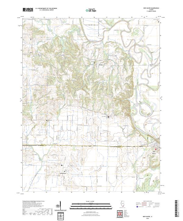
2024 Map of New Haven
USGS Topo · Published 2024About this map
The Little Wabash River winds through the eastern portion of this landscape, defining a region of low-lying wetlands and complex hydrology near its confluence with Cane Creek. The boundary between White County and Gallatin County bisects the area, where rural life is anchored by small settlements like New Haven, Herald, and Cottonwood. This modern survey reveals a dense network of county roads that connect numerous ancestral burial grounds, including the Garrison Family Cemetery and the Moore Cemetery. The terrain is characterized by the expansive Goose Pond Swamp and the narrow Cattail Slough, illustrating a river-bottom environment where water management and agriculture are inextricably linked. Notable landmarks such as Winners Bend and the community of Iron provide specific points of interest for those tracing the historical geography of this Southern Illinois river valley.
Find a feature on this map
93 named features on this map. Tap any name to fly to it.
Don’t see what you’re looking for? This feature index may not catch every label — zoom into the map to look around manually.
Map Details
Editions of this 2024 New Haven Map
This is the sole edition of this map. No revisions or reprints were ever made.
Other maps of this area

1905 · Eldorado
USGS Topo · 1:62,500

1905 · New Haven
USGS Topo · 1:62,500

1906 · New Haven
USGS Topo · 1:62,500

1906 · Eldorado
USGS Topo · 1:62,500

1940 · Carmi
USGS Topo · 1:62,500

1941 · Enfield
USGS Topo · 1:62,500

1943 · Carmi
USGS Topo · 1:62,500

1944 · Enfield
USGS Topo · 1:62,500

1949 · Paducah
USGS Topo · 1:250,000

1949 · New Haven
USGS Topo · 1:62,500