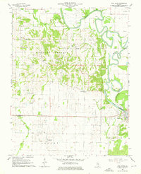
1964 Map of New Haven
USGS Topo · Published 1976About this map
The Little Wabash River winds through the eastern portion of this map, defining the boundary between White and Gallatin counties. Along its banks and the neighboring bottomlands, unique drainage features like The Bayou and Goose Pond Swamp illustrate the flood-prone nature of this agricultural river valley. The landscape transitions from the flat river plains to the slightly more elevated Heralds Prairie, where numerous scattered Oil Wells and an established Oil Field point to the mid-century energy production of the region.
Find a feature on this map
29 named features on this map. Tap any name to fly to it.
Don’t see what you’re looking for? This feature index may not catch every label — zoom into the map to look around manually.
Map Details
Editions of this 1964 New Haven Map
2 editions found
Other maps of this area

1905 · Eldorado
USGS Topo · 1:62,500

1905 · New Haven
USGS Topo · 1:62,500

1906 · New Haven
USGS Topo · 1:62,500

1906 · Eldorado
USGS Topo · 1:62,500

1940 · Carmi
USGS Topo · 1:62,500

1941 · Enfield
USGS Topo · 1:62,500

1943 · Carmi
USGS Topo · 1:62,500

1944 · Enfield
USGS Topo · 1:62,500

1949 · Paducah
USGS Topo · 1:250,000

1949 · New Haven
USGS Topo · 1:62,500