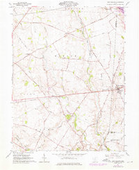
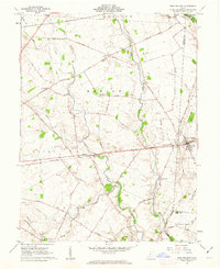
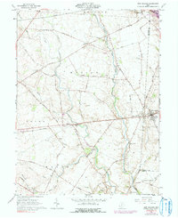
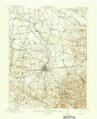
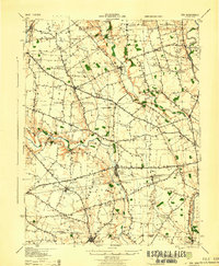
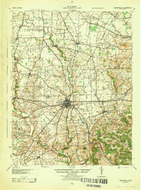
1961 Map of New Holland
USGS Topo · Published 1976About this map
Agricultural lands at the intersection of Fayette, Pickaway, and Ross Counties define this mid-century landscape, centered on the village of New Holland. The area is characterized by a dense network of country roads like Waterloo Road and Lauderman Road that connect small rural settlements including Pancoastburg, Bloomingburg, and Manara. Critical transportation corridors of the era, the Penn Central and Baltimore and Ohio railroads, cross the territory, facilitating the movement of goods through the Virginia Military District.
Find a feature on this map
54 named features on this map. Tap any name to fly to it.
Don’t see what you’re looking for? This feature index may not catch every label — zoom into the map to look around manually.
Map Details
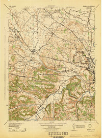
Editions of this 1961 New Holland Map
Other maps of this area
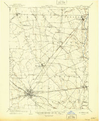
1906 · Mt Sterling
USGS Topo · 1:62,500

1911 · Era
USGS Topo · 1:62,500
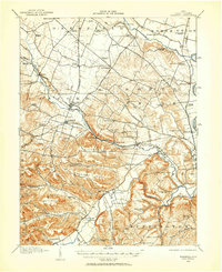
1912 · Roxabell
USGS Topo · 1:62,500
1913 · Era
USGS Topo · 1:62,500
1914 · Roxabell
USGS Topo · 1:62,500
1917 · Greenfield
USGS Topo · 1:62,500
1943 · Era
USGS Topo · 1:62,500
1944 · Greenfield
USGS Topo · 1:62,500
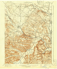
1944 · Roxabell
USGS Topo · 1:62,500

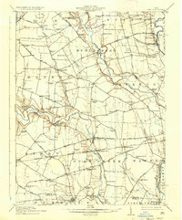
1947 · Columbus
USGS Topo · 1:250,000