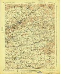
1908 Map of New Holland
USGS Topo · Published 1925About this map
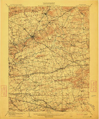
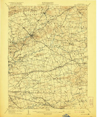
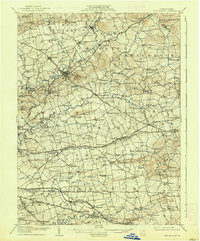
Earl and Leacock townships anchor this detailed survey of Lancaster County’s agricultural heartland. The landscape is defined by a dense network of early settlements with unique local identities, including Intercourse, Bird-in-Hand, and Blue Ball. These communities are connected by historic thoroughfares like the Harrisburg and Downingtown Turnpike and the Philadelphia and Lancaster Turnpike. The map reveals a highly developed rural infrastructure of the era, marked by dozens of one-room schoolhouses such as Metzler School and Good School, and central religious sites like Heller Church. The winding courses of the Conestoga River and Cocalico Creek dictate the placement of early mills and farms, while the Pennsylvania RR and Philadelphia and Reading RR lines reflect the region's integration into the broader industrial economy of the early twentieth century.
Find a feature on this map
138 named features on this map. Tap any name to fly to it.
Don’t see what you’re looking for? This feature index may not catch every label — zoom into the map to look around manually.
Map Details
Editions of this 1908 New Holland Map
6 editions found


Other maps of this area

1891 · Lebanon
USGS Topo · 1:62,500

1893 · Lebanon
USGS Topo · 1:62,500

1894 · Reading
USGS Topo · 1:62,500

1899 · Lebanon
USGS Topo · 1:62,500

1902 · Wernersville
USGS Topo · 1:62,500

1902 · Lancaster
USGS Topo · 1:62,500

1904 · Lancaster
USGS Topo · 1:62,500

1904 · Coatesville
USGS Topo · 1:62,500

1905 · Honey Brook
USGS Topo · 1:62,500

1906 · Coatesville
USGS Topo · 1:62,500