
1908 Map of New Holland
USGS Topo · Published 1944About this map
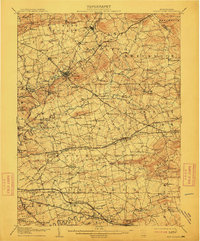
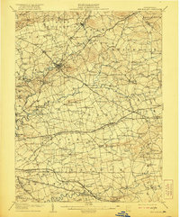
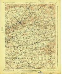
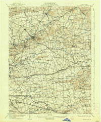
Ephrata and its Waterworks stand at the heart of this early twentieth-century survey, surrounded by the densely settled agricultural landscape of northern Lancaster County. The region’s deep Pennsylvania Dutch roots are reflected in the numerous rural congregations and one-room schoolhouses that dot the townships, from the Middle Creek Church in the west to the Weaverland School near Terre Hill. The terrain is defined by the winding paths of Conestoga Creek and Cocalico Creek, which provided essential water power and drainage for the patchwork of family farms.
Find a feature on this map
135 named features on this map. Tap any name to fly to it.
Don’t see what you’re looking for? This feature index may not catch every label — zoom into the map to look around manually.
Map Details
Editions of this 1908 New Holland Map
6 editions found

Other maps of this area

1891 · Lebanon
USGS Topo · 1:62,500

1893 · Lebanon
USGS Topo · 1:62,500

1894 · Reading
USGS Topo · 1:62,500

1899 · Lebanon
USGS Topo · 1:62,500

1902 · Wernersville
USGS Topo · 1:62,500

1902 · Lancaster
USGS Topo · 1:62,500

1904 · Lancaster
USGS Topo · 1:62,500

1904 · Coatesville
USGS Topo · 1:62,500

1905 · Honey Brook
USGS Topo · 1:62,500

1906 · Coatesville
USGS Topo · 1:62,500