
1908 Map of New Holland
USGS Topo · Published 1908About this map
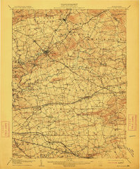
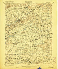
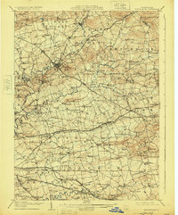
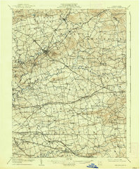
Ephrata and New Holland serve as primary hubs within this 1908 topographical survey of Lancaster County, revealing a landscape defined by an dense network of turnpikes and village schools. The convergence of the Harrisburg and Reading Turnpike and several rail lines, including the Reading and Columbia RR, illustrates the region's importance as a transportation corridor during the early twentieth century. Dozens of one-room schoolhouses, such as Stony Hill School and Clay School, dot the townships of West Cocalico and Earl, reflecting the localized social structure of these Pennsylvania Dutch communities.
Find a feature on this map
192 named features on this map. Tap any name to fly to it.
Don’t see what you’re looking for? This feature index may not catch every label — zoom into the map to look around manually.
Map Details
Editions of this 1908 New Holland Map
6 editions found

Other maps of this area

1891 · Lebanon
USGS Topo · 1:62,500

1893 · Lebanon
USGS Topo · 1:62,500

1894 · Reading
USGS Topo · 1:62,500

1899 · Lebanon
USGS Topo · 1:62,500

1902 · Wernersville
USGS Topo · 1:62,500

1902 · Lancaster
USGS Topo · 1:62,500

1904 · Lancaster
USGS Topo · 1:62,500

1904 · Coatesville
USGS Topo · 1:62,500

1905 · Honey Brook
USGS Topo · 1:62,500

1906 · Coatesville
USGS Topo · 1:62,500