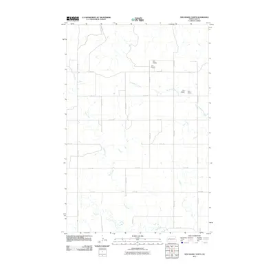
2011 Map of New Hradec North
USGS Topo · Published 2011About this map
Green River meanders across the southern reaches of this landscape, anchoring a rural expanse of Dunn County defined by its watercourses and sectional grid. The drainage of Russian Spring Creek and Spring Creek creates a network of modest coulees and valleys that break the agricultural plateau. While the area remains primarily open land, Saint Anthony Cemetery stands as a focal point for local genealogy and history, marked at two distinct locations along the northern township lines. The 2011 survey reveals a strictly organized road system of numerical avenues and streets, including 114th Ave SW and 22nd St SW, which facilitate movement between the scattered farmsteads and the water-carved terrain of the northern plains.
Find a feature on this map
18 named features on this map. Tap any name to fly to it.
Don’t see what you’re looking for? This feature index may not catch every label — zoom into the map to look around manually.
Map Details
Editions of this 2011 New Hradec North Map
This is the sole edition of this map. No revisions or reprints were ever made.
Other maps of this area

1953 · Dickinson
USGS Topo · 1:250,000

1953 · Watford City
USGS Topo · 1:250,000

1957 · Dickinson
USGS Topo · 1:250,000

1957 · Watford City
USGS Topo · 1:250,000

1959 · Dickinson North
USGS Topo · 1:24,000

1962 · Belfield NE
USGS Topo · 1:24,000

1963 · Fairfield SE
USGS Topo · 1:24,000

1963 · Hungry Man Butte
USGS Topo · 1:24,000

1967 · Watford City
USGS Topo · 1:250,000

1973 · Manning SE
USGS Topo · 1:24,000