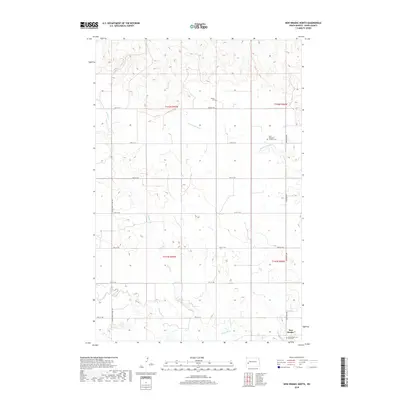
2018 Map of New Hradec North
USGS Topo · Published 2018About this map
New Hradec anchors the southeastern corner of this North Dakota landscape, a region defined by its high plains drainage and rural section-line road network. The terrain is marked by the winding courses of the Green River, Spring Cr, and Russian Spring Cr, which carve through the plateau. This area is deeply tied to its local heritage, as evidenced by several dedicated burial sites, including the Roshau Cem and the Saint Anthony's Catholic Cem. The road system, featuring Dickinson Ave and the S Heart Farm to Mkt Rd, facilitates access across the open expanses of Dunn County. Near the southern boundary, the Saints Peter and Paul Cem serves the community of New Hradec, illustrating the continued significance of these early centers of faith and family history in the modern era.
Find a feature on this map
22 named features on this map. Tap any name to fly to it.
Don’t see what you’re looking for? This feature index may not catch every label — zoom into the map to look around manually.
Map Details
Editions of this 2018 New Hradec North Map
This is the sole edition of this map. No revisions or reprints were ever made.
Other maps of this area

1953 · Dickinson
USGS Topo · 1:250,000

1953 · Watford City
USGS Topo · 1:250,000

1957 · Dickinson
USGS Topo · 1:250,000

1957 · Watford City
USGS Topo · 1:250,000

1959 · Dickinson North
USGS Topo · 1:24,000

1962 · Belfield NE
USGS Topo · 1:24,000

1963 · Fairfield SE
USGS Topo · 1:24,000

1963 · Hungry Man Butte
USGS Topo · 1:24,000

1967 · Watford City
USGS Topo · 1:250,000

1973 · Manning SE
USGS Topo · 1:24,000