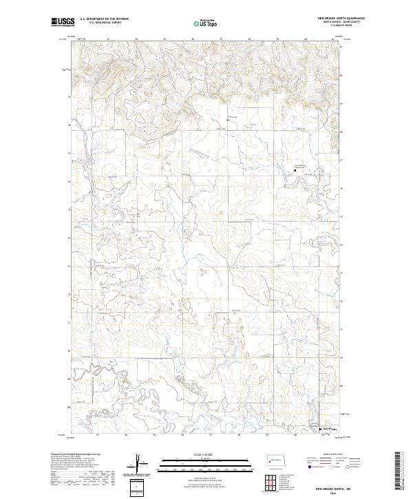
2024 Map of New Hradec North
USGS Topo · Published 2024About this map
New Hradec serves as the primary landmark in this survey of the North Dakota prairie, where the landscape is defined by the winding paths of Russian Spring Creek and the Green River. The map reveals a deeply rooted rural community, highlighted by several family and parish burial grounds including Roshau Cem, the Saint Anthony's Catholic Cem, and the Saints Peter and Paul Cem. These sites, along with the grid of section lines and roads such as Dickinson Ave, provide essential data for genealogists tracing the legacy of Bohemian and other European settlers who established farms in this portion of Dunn County. The drainage patterns of Spring Creek illustrate the natural irrigation that supported the agricultural development of Township 141 and 142 North. Connectivity in the region is anchored by thoroughfares like S Heart Farm to Mkt Rd, which linked remote farmsteads to the grain markets and larger rail hubs to the south.
Find a feature on this map
21 named features on this map. Tap any name to fly to it.
Don’t see what you’re looking for? This feature index may not catch every label — zoom into the map to look around manually.
Map Details
Editions of this 2024 New Hradec North Map
This is the sole edition of this map. No revisions or reprints were ever made.
Other maps of this area

1953 · Dickinson
USGS Topo · 1:250,000

1953 · Watford City
USGS Topo · 1:250,000

1957 · Dickinson
USGS Topo · 1:250,000

1957 · Watford City
USGS Topo · 1:250,000

1959 · Dickinson North
USGS Topo · 1:24,000

1962 · Belfield NE
USGS Topo · 1:24,000

1963 · Fairfield SE
USGS Topo · 1:24,000

1963 · Hungry Man Butte
USGS Topo · 1:24,000

1967 · Watford City
USGS Topo · 1:250,000

1973 · Manning SE
USGS Topo · 1:24,000