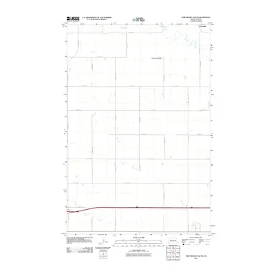
2011 Map of New Hradec South
USGS Topo · Published 2011About this map
New Hradec anchors the northern edge of this Stark County landscape, a region defined by the winding course of the Green River and the prominent rising elevation of Dutch Henry Butte. This area of North Dakota exhibits a stark, grid-based surveying pattern that dictates the placement of nearly every road, including 29th St SW and 116th Ave SW, reflecting the systematic agricultural development typical of the northern plains. The drainage systems of Duck Creek and North Creek cut through the sections, creating natural breaks in the geometric field patterns. This document provides a clear look at the rural infrastructure of the early 21st century, showing how the interstate corridor and county roads intersect with the natural topography of the Missouri Plateau.
Find a feature on this map
21 named features on this map. Tap any name to fly to it.
Don’t see what you’re looking for? This feature index may not catch every label — zoom into the map to look around manually.
Map Details
Editions of this 2011 New Hradec South Map
This is the sole edition of this map. No revisions or reprints were ever made.
Other maps of this area

1953 · Dickinson
USGS Topo · 1:250,000

1953 · Watford City
USGS Topo · 1:250,000

1957 · Dickinson
USGS Topo · 1:250,000

1957 · Watford City
USGS Topo · 1:250,000

1959 · Dickinson North
USGS Topo · 1:24,000

1959 · Dickinson South
USGS Topo · 1:24,000

1962 · Belfield NE
USGS Topo · 1:24,000

1962 · Belfield SE
USGS Topo · 1:24,000

1963 · Fairfield SE
USGS Topo · 1:24,000

1967 · Watford City
USGS Topo · 1:250,000