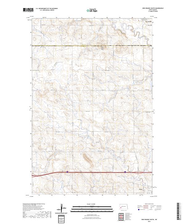
2024 Map of New Hradec South
USGS Topo · Published 2024About this map
New Hradec and Eland anchor this southwestern North Dakota landscape, where the agricultural plains meet the distinct drainages of the Green River and Duck Creek. The terrain is defined by the prominent Dutch Henry Butte, a landmark rising near the border of Dunn and Stark Counties. This modern survey reveals a highly organized grid of rural infrastructure, from the S Heart Farm to Mkt Rd to numerous section-line roads like 30th St SW. The southern portion of the map is dominated by the corridor of Hwy 10 W, illustrating the intersection of historic township-and-range lines with contemporary transit routes. While the primary character of the land remains agricultural, the proximity of North Creek and localized depressions suggests the complex hydrology inherent to this part of the Great Plains.
Find a feature on this map
32 named features on this map. Tap any name to fly to it.
Don’t see what you’re looking for? This feature index may not catch every label — zoom into the map to look around manually.
Map Details
Editions of this 2024 New Hradec South Map
This is the sole edition of this map. No revisions or reprints were ever made.
Other maps of this area

1953 · Dickinson
USGS Topo · 1:250,000

1953 · Watford City
USGS Topo · 1:250,000

1957 · Dickinson
USGS Topo · 1:250,000

1957 · Watford City
USGS Topo · 1:250,000

1959 · Dickinson North
USGS Topo · 1:24,000

1959 · Dickinson South
USGS Topo · 1:24,000

1962 · Belfield NE
USGS Topo · 1:24,000

1962 · Belfield SE
USGS Topo · 1:24,000

1963 · Fairfield SE
USGS Topo · 1:24,000

1967 · Watford City
USGS Topo · 1:250,000