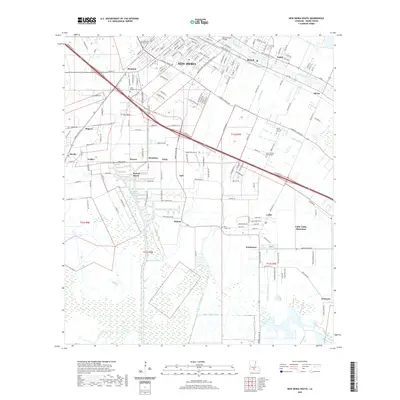
2020 Map of New Iberia South
USGS Topo · Published 2020About this map
Bayou Teche and the surrounding Louisiana wetlands define this landscape just south of the city center in the modern era. The map illustrates a dense network of waterways essential to local industry and transport, including the Acadiana Navigation Channel, Bayou Jack Canal, and the Rodere Canal. These aquatic arteries support the industrial operations at the Port of Iberia, which serves as a major hub for the region's economic activity.
Find a feature on this map
181 named features on this map. Tap any name to fly to it.
Don’t see what you’re looking for? This feature index may not catch every label — zoom into the map to look around manually.
Map Details
Editions of this 2020 New Iberia South Map
This is the sole edition of this map. No revisions or reprints were ever made.
Other maps of this area

1937 · Jeanerette
USGS Topo · 1:62,500

1937 · Derouen
USGS Topo · 1:62,500

1939 · St. Martinsville
USGS Topo · 1:62,500

1941 · Loreauville
USGS Topo · 1:62,500

1945 · New Orleans
USGS Topo · 1:250,000

1954 · Loreauville
USGS Topo · 1:62,500

1954 · Jeanerette
USGS Topo · 1:62,500

1954 · Baton Rouge
USGS Topo · 1:250,000

1956 · Baton Rouge
USGS Topo · 1:250,000

1957 · St. Martinville
USGS Topo · 1:62,500