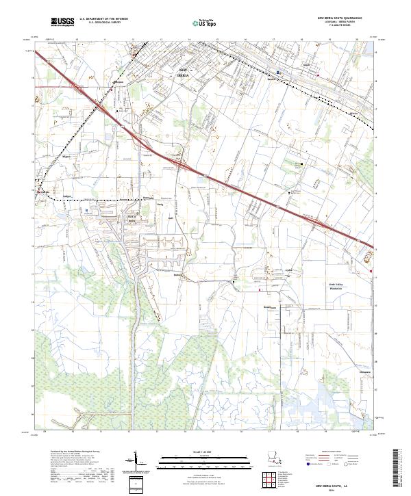
2024 Map of New Iberia South
USGS Topo · Published 2024About this map
Bayou Teche winds through the heart of the Acadiana landscape, anchoring a series of historic settlements and plantations in this 2024 survey. The map details the industrial and maritime reach of the Port of Iberia, where the Acadiana Navigation Channel meets the intricate system of coulees and canals that define the region's hydrology. The transition from the urban density of New Iberia to the expansive fields of Little Valley Plantation highlights the area's dual character as both a manufacturing hub and an agricultural heartland.
Find a feature on this map
172 named features on this map. Tap any name to fly to it.
Don’t see what you’re looking for? This feature index may not catch every label — zoom into the map to look around manually.
Map Details
Editions of this 2024 New Iberia South Map
This is the sole edition of this map. No revisions or reprints were ever made.
Other maps of this area

1937 · Jeanerette
USGS Topo · 1:62,500

1937 · Derouen
USGS Topo · 1:62,500

1939 · St. Martinsville
USGS Topo · 1:62,500

1941 · Loreauville
USGS Topo · 1:62,500

1945 · New Orleans
USGS Topo · 1:250,000

1954 · Loreauville
USGS Topo · 1:62,500

1954 · Jeanerette
USGS Topo · 1:62,500

1954 · Baton Rouge
USGS Topo · 1:250,000

1956 · Baton Rouge
USGS Topo · 1:250,000

1957 · St. Martinville
USGS Topo · 1:62,500