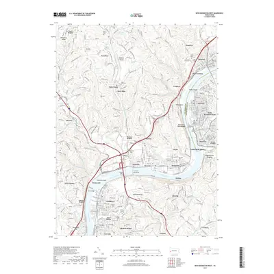
2019 Map of New Kensington West
USGS Topo · Published 2019About this map
The Allegheny River serves as the dominant geographic and industrial spine of this region, dividing Allegheny and Westmoreland counties. Dense riverfront settlements including Tarentum, New Kensington, and Springdale demonstrate the enduring urban pattern of the valley, while landforms like Fourteen Mile Island and Twelvemile Island punctuate the waterway. The map reveals a high concentration of memorial sites and community anchors, such as Saint Josephs Cem and Walter Chapel Cem, which offer significant value for genealogical research.
Find a feature on this map
327 named features on this map. Tap any name to fly to it.
Don’t see what you’re looking for? This feature index may not catch every label — zoom into the map to look around manually.
Map Details
Editions of this 2019 New Kensington West Map
This is the sole edition of this map. No revisions or reprints were ever made.
Other maps of this area

1904 · Mc Keesport
USGS Topo · 1:62,500

1904 · Greensburg
USGS Topo · 1:62,500

1906 · Greensburg
USGS Topo · 1:62,500

1907 · Pittsburg
USGS Topo · 1:62,500

1907 · Freeport
USGS Topo · 1:62,500

1908 · New Kensington
USGS Topo · 1:62,500

1909 · Freeport
USGS Topo · 1:62,500

1910 · New Kensington
USGS Topo · 1:62,500

1950 · Valencia
USGS Topo · 1:24,000

1951 · Pittsburg East
USGS Topo · 1:24,000